Geoscience Reference
In-Depth Information
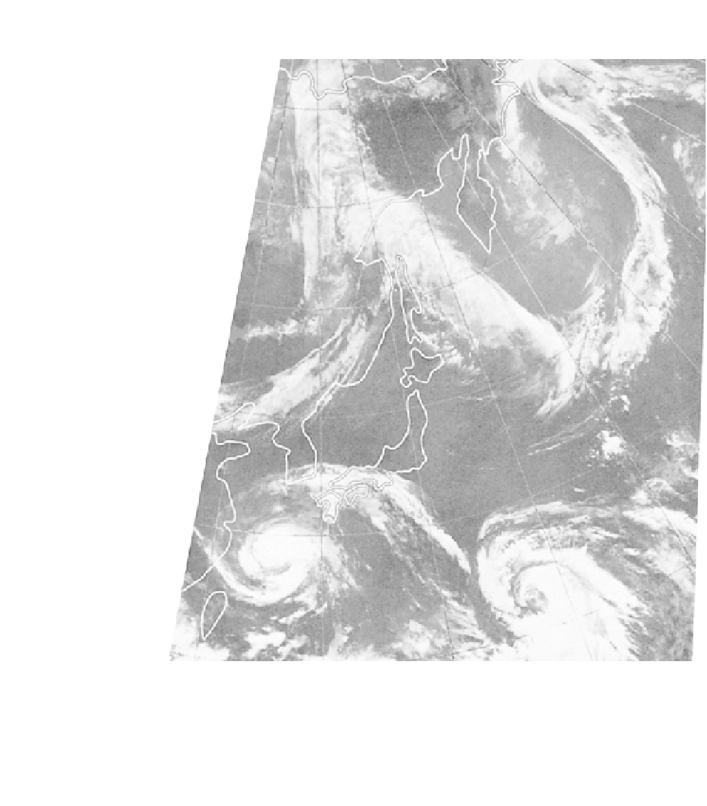
Plate 23
A satellite infra-red mosaic of eastern Asia and the western North Pacific showing two
mid-latitude depression systems and typhoons 'Wendy' (28°N, 126°E) and 'Virginia' (22°N, 147°N)
on 29 July 1978, about 09:00 local time (Tokyo). The typhoons had maximum winds of about 36 ms
-1
and sea-level pressure minima of about 965 mb ('Wendy') and 975 mb ('Virginia'). A subtropical high-
pressure ridge about 35°N separates the tropical and mid-latitude storms minimizing any interaction
(
Defense Meteorological Satellite Program imagery, National Snow and Ice Data Center, University of
Colorado, Boulder
).