Geoscience Reference
In-Depth Information
Plate 19
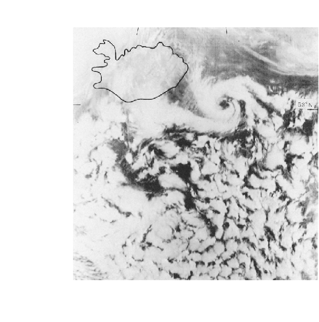
A polar low near Iceland, 14 January 1984, as seen on a visible band DMSP satellite image. This
mesoscale low and the closed cellular cloud patterns to the south developed in a northerly airflow behind
an occluded depression situated over the coast of Norway (
courtesy of National Snow and Ice Data Center,
University of Colorado, Boulder
).