Geoscience Reference
In-Depth Information
The contrast between the converging air masses
obviously increases with the distance of the ITCZ
from the equator, and the degree of difference in
their characteristics is associated with considerable
variation in weather activity along the conver-
gence zone. Activity is most intense in June to
July over South Asia and West Africa, when the
contrast between the humid maritime and dry
continental air masses is at a maximum. In these
sectors, the term Intertropical Front is applicable,
although this does not imply that it behaves
like a mid-latitude frontal zone. The nature
and significance of the ITCZ are discussed in
Chapter 11.
180°
90°W
90°E
0°
G SURFACE-UPPER-AIR
RELATIONSHIPS AND THE
FORMATION OF FRONTAL
CYCLONES
We have noted that a wave depression is associ-
ated with air-mass convergence, yet the baro-
metric pressure at the center of the low may
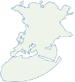
Figure 9.21
The principal Northern Hemisphere depression
tracks in January. The full lines show major tracks, the dashed
lines secondary tracks that are less frequent and less well
defined. The frequency of lows is a local maximum where
arrowheads end. An area of frequent cyclogenesis is indicated
where a secondary track changes to a primary track or where
two secondary tracks merge to form a primary track.
Source: After Klein (1957). Courtesy of the US Weather Bureau.
Plate 9.1
A composite image mostly from the Moderate resolution Imaging Spectrometer (MODIS) on NASA's
Terra satellite orbiting 700km above the earth.
The cloud cover is a composite of visible and thermal infrared imagery for 29 July and November 2001. City
lights are superimposed from Defense Meterological Satellite Program observations over a nine-month period.
Topographic shading is from the US Geological Survey GTOPO 30 dataset.
Source:Blue Marble Visible Earth, NASA ftp://gloria 2-f.gsfc.nasa.gov/pub/stockli.


