Geoscience Reference
In-Depth Information
(a)
Genoa
44°N
Nice
(b)
38°N
42°N
8
Collo
La Calle
37°N
40°N
Stora
3
7
Bone
6
Algiers
Djidjelli
Mahon
8
Philippeville
3
Bougie
7
7
Iglesias
8
Cha
hana
6
7
Ziama
Gastonville
8
8
Ain Roua
Robertville
Carloforte
8
6
El Maad
Conde-Smendou
4
6
7
5
Guelma
Amizo
ur
Constantine
6
5
38°N
Souk Ahras
Setif
36°N
4
Collo
Bone
Algiers
Bougie
Djidjelli
La Calle
Guelma
Philippeville
3
3
M
ACROSEISMIC
EPICENTRE
Isoseismal curve
Uncertain curve
Constantine
Souk Ahras
Batna
36°N
Setif
3°E
4°E
5°E
6°E
7°E
8°E
9°E
Batna
Macroseismic epicenter (Rothé, 1950)
M
acroseismic ep
icenter (Am
braseys, 1982
)
34°N
2°E
4°E
6°E
8°E
10°E
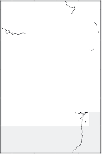
Fig. 5
(
a
) Area of perceptibility of the Djidjelli earthquake of 22 August 1856 (after Harbi et al. 2003a modified from Ambraseys, 1982). (
b
) Isoseismal map
of the Djidjelli earthquake (Ms 6.0, I
0
VIII EMS), modified from Harbi et al. (2003a)


Search WWH ::

Custom Search