Geoscience Reference
In-Depth Information
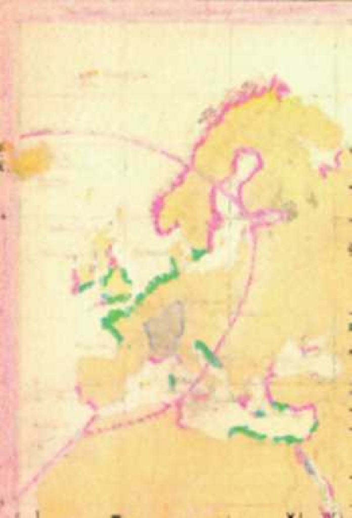
Fig. 1
Segment of map taken from the
Physical Atlas
(Section
Geology
)byHermann
Berghaus (1888), issued by J. Perthes editorial house, Gotha. In the map, limits of the perception of
two important European earthquakes (Lisbon 1755 and Visp 1855) are drawn. Private collection,
Prague

Search WWH ::

Custom Search