Geoscience Reference
In-Depth Information
Since the Wood County results were published, two additional health surveys
have been performed in Lucas and Greene Counties in Ohio. These surveys were
implemented using methods improved from the Wood County surveys. Wood
County potential exposure status was defined purely by distance of the household
from permitted fields. In Lucas County, the potentially exposed group was improved
by selecting all of the households closest to the permitted fields. For the control
households, the same procedure was used as in Wood County, a distance buffer of
more than one mile but less than three miles from the nearest permitted field.
In an effort to further strengthen the epidemiological study in Greene County,
the Class B biosolids application data were mapped first and then the addresses
generated (Fig.
10.9
). The exposed group then became the closest households to the
Fig. 10.11
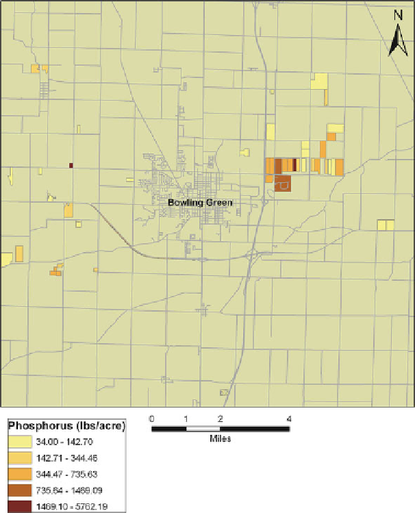
Mass of phosphorus applied to biosolids amended fields through 2003 in Wood County