Geoscience Reference
In-Depth Information
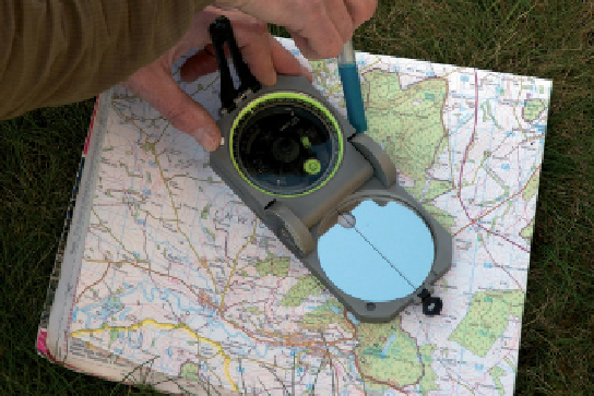
The map is now orientated. Note that the
long edge of the compass is parallel to the
N-S grid line and the compass needle is at
its 0
°
mark. Note also that the compass has
been corrected for magnetic declination.
2
4. Transfer azimuth to the map
Keeping the map orientated in exactly the
same way, place the long edge of the
compass so that it runs through the feature
that you sighted. Rotate just the compass
until the compass needle shows the
azimuth of the feature that you sighted off.
Draw a feint line along the edge of the
compass. You are somewhere along
this line.
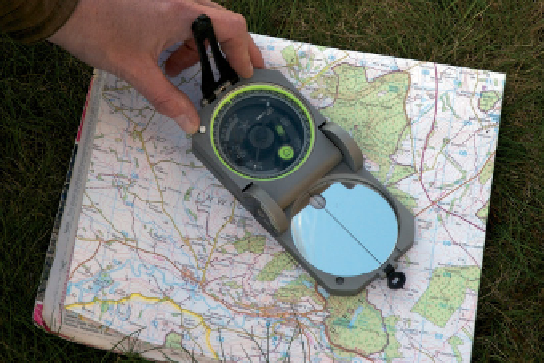
5. Repeat stages 2 to 4
Repeat for at least one more feature. The point at which the lines
intersect marks your position. See further notes on checking your
position in Sections 2.3.3 and 10.3.
Figure 2.11
Continued