Geoscience Reference
In-Depth Information
10
(a)
(b)
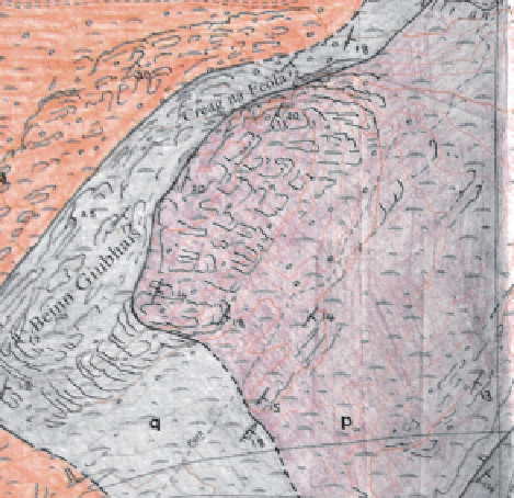
Figure 10.12
(a) An example of a fi eld map produced by exposure mapping, with exposures outlined in pen;
note that unit boundaries are also shown as dashed or solid lines. (b) A portion of the fi nal fair copy map from
the fi eld map in (a), showing how the inferred outcrops of the mapped units are shown as solid blocks of colour.
(Field map and fi nal fair copy map of Susie Clarke, Oxford, UK.)
soil type and vegetation (Section 10.5.4). Strata, contacts and/or
faults could be traced across a blank area along their strike,
provided exposures either side of the blank area match. If a
linear feature on the map (contact, dyke, lithological boundary)
is offset across the blank area, a fault may be the cause. The
broken rock along fault lines is susceptible to weathering and
erosion, so faults are commonly concealed in ravines,
watercourses, or depressions that accumulate superfi cial
deposits. In some cases, clues in the landscape (Section 10.5.4)
may allow a feature to be traced across an area of no exposure;
for instance, the presence of an unconformity between
permeable limestone and impermeable mudstone may be
betrayed by an abrupt contrast in surface drainage (dry ground
above limestone, wet ground above mudstone).
For a snapshot of the rock
types exposed in a particular
area, spend a short time
picking over pebbles in large
alluvial fans or bars of rivers
that drain the mapping area.
This will give an overview of
the rock types present
(although biased in favour of
harder rocks).
Exposure mapping can be challenging in areas at either
extreme, i.e. where exposure is poor, or almost 100%. If almost
all rocks are exposed, the challenge may be to separate rock
types that grade into each other (e.g. phyllites, schists,
gneisses), and divide them into mappable units. It can be
diffi cult to achieve this before all the units in the area have
been examined, although judicious study of river pebbles can
help, or a suitable transect through the area. Once the units
have been established, contact mapping may then be the best
way to proceed.