Geoscience Reference
In-Depth Information
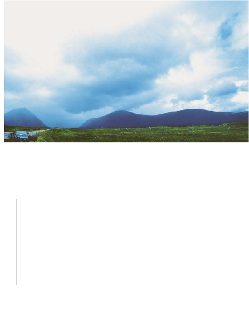
Plate 4.10
Orographic cloud near Glencoe, Scotland. The thickest areas of cloud are where uplift is greatest.
Photo: Peter Smithson
over effect in the strong winds so that highest totals are
downwind of the highest summits as shown in
Figure
it passes, owing to increased friction, the net effect is
considerably greater rainfall (
Figure 4.10
).
On the leeward side of the hills,
subsidence
or
descending air begins to dominate, so that the cloud sheet
thins or even dissipates and rainfall declines. As the air
descends it gets warmer, owing to compression, to give us
the rain-shadow effect on the leeward slope of the
mountains. Here rainfall is far less than on the upslope
side and sunshine amounts and daytime temperatures are
normally higher.
As much of the precipitation in mountains is due to
an intensification of existing rain, it would be wrong to
think of orographic precipitation as a truly separate
category. It can occur as drizzle or by convective instability,
but much more frequently it will depend upon convergent
or convection processes already operating. Even these two
types can occur together in depressions, so perhaps we
should identify convectional, convergent and orographic
precipitation as interrelated mechanisms of rainfall rather
than classifying them into these types. More information
about the effects of orography on precipitation can be
found in
Chapter 5.
600
New environmental lapse rate
(unstable)
SALR
700
DALR
800
SALR
900
Dry
Initial lapse rate
(stable)
DALR
Moist
1000
Temperature
uplift of a layer of air 100 mb in thickness. Between 1000 hPa
and 900 hPa the air is initially stable. It is moist near the base
and drier aloft. As a result of uplift, the new environmental
lapse rate indicates instability.