Geoscience Reference
In-Depth Information
rainfall) and topographic senses. Watershed asymmetry
divides many shorter, swift Pacific coast rivers from the
few massive basins draining to the Arctic and Atlantic
Oceans and the Gulf of Mexico. Intermontane basins in
both continents typically direct inland drainage networks
into large and usually saline lakes such as Titicaca, Poopo
and Salar de Atacama (Andes) and Great Salt Lake (United
States).
Eurasia: Pyrenees, Alps and Himalayas
Alpine and Himalayan mountain systems represent
intercontinental collisions, through indentation and
A-subduction of one plate into another accompanied
by widespread thrusting, terrane displacement and
epeirogenesis. The direction of thrusting and subduction
changed during 'Afro-European' collision. Microplates
were detached and some continue to jostle each other as
contacts are made elsewhere. The African plate moved first
east, then west, relative to Europe during the Mesozoic,
before its principal northward drive in the Cenozoic.
This complicated sequence of Tethys Ocean closure is
imprinted on the contorted pattern of individual
European Alpine ranges and associated Mediterranean
peninsulas. In the west, the Pyrenees and associated Ebro
(northern Spain) and Aquitaine (southern France) basins
were formed by thickening and thrusting of European
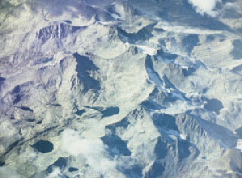
southern California. Quaternary glaciation of this late Cenozoic
cordillera has dramatically opened up the granite batholith at
its core - with as little as 10 Ma since uplift began.
Photo: Ken Addison
activity, rapid fluvial and glacial erosion and highly
unstable slopes outside the intermontane plateaux). Both
cordilleran systems inevitably have a major impact on
global and continental climate and act as the principal
continental watersheds in both orographic (enhanced
Photo: Ken Addison