Geoscience Reference
In-Depth Information
LONGITUDE
60°
120°
180°
120°
60°
0°
80°
80°
60°
60°
40°
40°
20°
20°
0°
0°
20°
20°
40°
40°
Major dust
plumes
Principal loess
deposits
60°
60°
Loess pocket
60°
120°
180°
120°
60°
0°
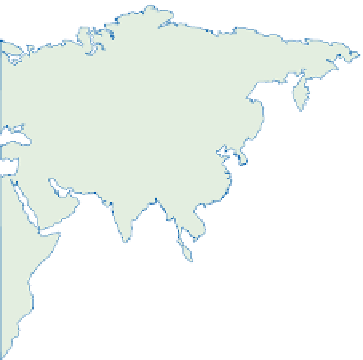
Figure 16.4
Global loess deposits. Note the focus around 40° latitude north and south, between the subtropical high pressure
belt and Pleistocene ice limits.
Source: After Livingstone and Warren (1996)
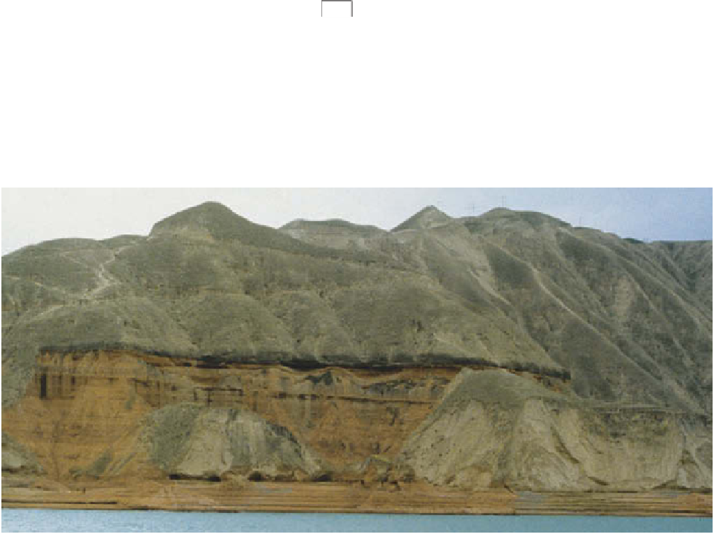
Plate 16.2
Thick loess overlying late Tertiary clays (lower red beds) and thick palaesols (dark band) in the middle Huang (Yellow
River) basin, China.
Photo: Mike Fullen