Geoscience Reference
In-Depth Information
Maximum
ice extent
Maximum
ELA
Late
ELA
Ice sheet
Drumlin
Esker
Kame
Flute
moraine
Erosion
dominant
Kame
terrace
Fluted
till plain
Kame
terrace
Rogen
moraine
Delta
Terminal
moraine
,&(0$5*,1$/=21(
Kame
moraine
Sandur (sand plain)
*/$&,2)/89,$//$1')2506
025$,1,&/$1')2506
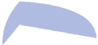
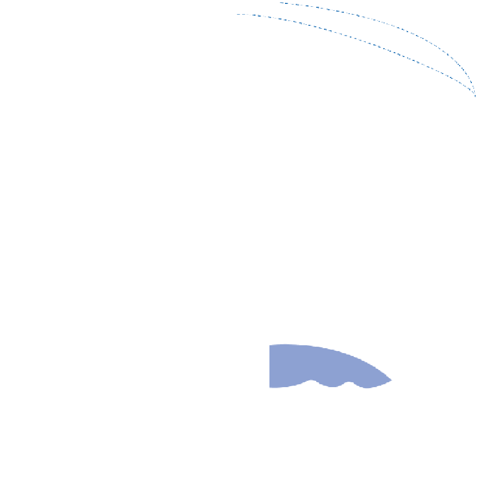
Figure 15.14
Ice sheet depositional landsystem. Glaciofluvial (waterlain) and morainic (ice-deposited) subsystems are shown
separately in relation to maximum and retreat stages but they may, in practice, be superimposed. Both subsystems are primarily
subglacial or ice-marginal in nature and may be draped with supraglacial sediments (flow and ablation till, etc.). Extraglacial
landforms must be glaciofluvial but ice and water are both responsible for ice-contact landforms.
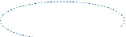
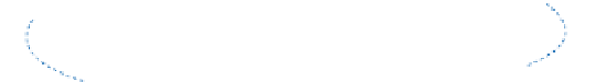
(a)
(a)
Ice-carved
moraine
Push
moraine
Glacier retreat
Terminal
moraine
Rogen moraine
Buried ice
(b)
Terminal
moraine
Former ice surface
Sediment pathway
Previous pathway
(b)
De Geer moraine
moraines form passively by debris melt-out from marginal and
buried ice. Rogen and push moraines form under active ice by
melt-out along debris rich shear planes and episodic
readvance respectively. (b) De Geer moraines form by melt-
out from active ice decoupled from its bed in ponded water.
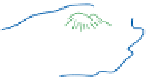
Plate 15.15
A sandur plain ahead of the retreating terminus of the Lewellyn Glacier, eastern Juneau Icefield: (a) a kame moraine
impounds the temporary proglacial lake, with fluvioglacial outwash beyond it to the left; (b) an individual kame marks the
downstream (left) end of a small subglacial esker.
Photos: Ken Addison