Geoscience Reference
In-Depth Information
(a)
(c)
180°
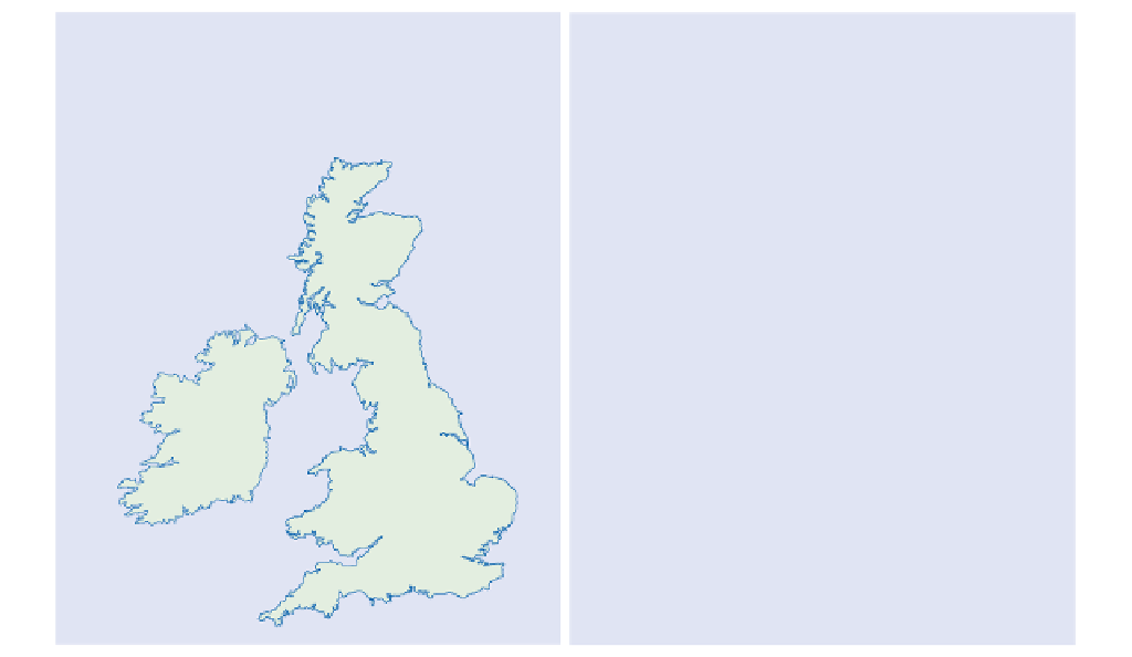
S. W. Scotland
West
Antarctic
Ice Sheet
East Antarctic
Ice Sheet
Pinning points
M = Isle of Man
A = Anglesey
L = Llyn
Lake
District
80°S
2
Crary Ice Rise
M
80°S
ICE SHELF
Ireland
Roosevelt Is.
A
A
1
Snowdonia
Snowdonia
L
0
250
0
100
km
180°
km
Outlet glaciers
Calving line
Iceflow
Grounding line
Drumlin field
(b)
Calving
line
Pinning
point
Outlet glacier
inflow
Ice rise
Grounding
line
Berg
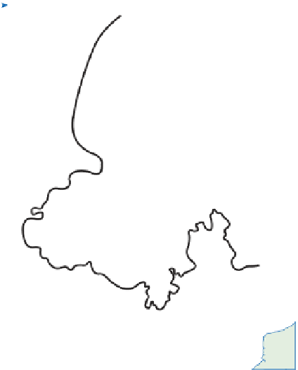
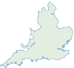
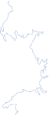
Figure 15.11
Ice shelves: (a) Ross ice shelf, Antarctica; (b)
Pleistocene ice shelf, retreating grounding lines (1 and 2) and
drumlin fields in the Irish Sea basin.
(a)
(b)
General iceflow
direction
Glacial erosion
intensity
Ice surface contour
in metres
Flow lines, across
the contours
34
0
1
4
SCOTTISH
ICE
CAP
2
3
1
1
1
LAKE DIST.
ICE CAP
4
1
2
2
0
2
0
4
2
0
2
1
3
1
1
2
2
1
0
100
0
100
km
km
Figure 15.12
Modelled characteristics of the British Late Pleistocene (Late Devensian) ice sheet: (a) general iceflow directions
and the intensity of glacial erosion, measured on scale 1-5 (least to most intense); (b) ice surface, iceflow lines and ice limits.
Source: Boulton et al.(1977)