Geoscience Reference
In-Depth Information
area/height distribution suggests that the continental shelf
and
coastal plains
are continuous features and that the
principal boundary occurs at the continental shelf break
at approximately -200 m depth and on average 70 km
from the shore. Below this, the
continental slope
inclines
at 3-6
1
Short -
waves
and
tides
operate over 10
-6--1
years
(minutes-year); diurnal and monthly tides are the
most regular and waves are driven largely by wind.
2
Intermediate
-
eustatic
changes in global water volume
and isostatic changes in basin geometry driven by
localized vertical displacements of crust operate over
10
1-5
years.
towards the abyssal plain, which it meets at the
continental rise
. Shorter elements of this model occur in
trench-arc coastlines but it is most applicable to passive
continental margins. The entire zone is draped with
terrigenous sediments
, sourced from land, in a transi-
tional assemblage between terrestrial and marine
environments through marine
transgression
(advance)
and
regression
(retreat) across the zone. Bedrock channels
with sediment infills incise both shelf and slope alike. The
former are likely to be the
buried channels
of rivers
cut during lower sea levels but the latter are invariably
submarine canyons
formed by marine processes alone
(
Figure 11.6
and see
Figure 12.19
and
Plate 12.9
).
3
Long
-
tectonic cycles
alter ocean geometry at the
longest time scales (10
5-8
years).
The coastline is essentially in equilibrium with wave
and tidal variations over short periods. Our concern is
primarily with the susceptibility of sea level and coastlines
to intermediate fluctuations, which are of greater
significance despite far slower rates and smaller magnitude
than tides. Water volume depends on the global hydro-
logical cycle, but with over 97 per cent of global water
mass held in the oceans, it possesses short-term stability.
Ocean basin and water mass dimensions are shown in
SEA LEVEL
Eustatic control of sea level
The position of the coast is determined by
sea level
,
which, in turn, is dependent on ocean water volume and
ocean basin geometry. After hydrogen outgassing from the
early Earth probably reduced initial water volume by 30
per cent, sea level fluctuates now over the following
fundamentally different time scales.
Eustasy is the control of sea level by water volume. Eustatic
change is generally worldwide and immediate because
water effectively finds a common level. Change occurs
either by
steric
effects - adjustments to sea-water density
via temperature or salinity - or through net mass transfers
Airborne particles
(dust, ash)
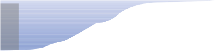
Shelf rise
Shelf break
ABYSSAL PLAIN
CONTINENTAL SLOPE
CONTINENTAL SHELF
COASTAL PLAIN
Transgression
Marine regression
Mean sea level
Terrigenous
sediments
Fining outwards
Current
terrestrial
sediment
Rain-o
ut of
minerogenic and
biogenic debris
Submarine
canyon
Turbidity
current
Turbidite fan
Turbidites
Passive margin
extension faults
2FHDQLF&UXVW
&RQWLQHQWDO&UXVW