Geoscience Reference
In-Depth Information
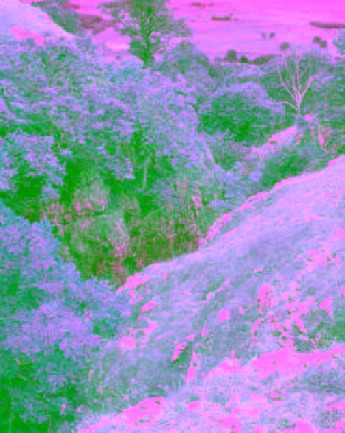
Plate 1.2
The glacial truncated spur of Kilnsey Crag is 60 m high with an overhang of 15 m. A confused landscape of Celtic
front of the Crag.
Photo: Carl Tracie
of vegetation and organisms. Thus the landscape of Upper
Wharfedale is a palimpsest of 4,000 years of human
activity and settlement history. Clearance of the woodland
started in Neolithic times, and the present limits of
moorland were established by the third century
BC
.The
well drained limestone soils have attracted settlement
since the Neolithic/Early Bronze Age. Famous 'occupation'
sites also include the 'Celtic fields' north of Grassington
dating from Iron Age and/or Roman times. Large stretches
of 'co-axial' fields, roughly 50 m wide and running across
the valley sides and up on to the high moors, date from
the first millennium
BC
.
In medieval times, narrow terraces or
lynchets
in Upper
Wharfedale were built to follow the contours and these
obliterated earlier field patterns. Mixed farming of oats,
barley and livestock persisted until the sixteenth century
a fault in the Great Scar Limestone. The gorge was sculptured
in the Devensian glaciation by a subglacial stream under great
hydraulic pressure.
Photo: Carl Tracie