Geoscience Reference
In-Depth Information
Pangaea, on the basis of a common geological history
culminating in a great Carboniferous-Permian glaciation.
This was consistent with Darwin's belief in common
biological ancestry, with modern species found in different
continents once connected by land bridges or, ironically,
natural rafts. No proven mechanism of crustal rifting
existed prior to 1960, despite considerable geological
evidence of
palaeo-
(past) climatic, palaeoenvironmental
and palaeoecological evidence for the supercontinent of
Pangaea until its break-up in the Mesozoic era
c
. 200 Ma
ago.
smaller in the range 10
6-7
km
2
. A number of microplates
assist in articulating the differential movement of major
plates over Earth's curved surface (
Figure 10.6
).
Plate
names suggest a series of separate oceanic and continental
plates but the reality is more complex. Although American
Pacific coastlines closely follow the eastern boundary of
the essentially oceanic Pacific, Cocos and Nazca plates, two
plates account for each American continent and its
respective western half of the Atlantic Ocean. In contrast,
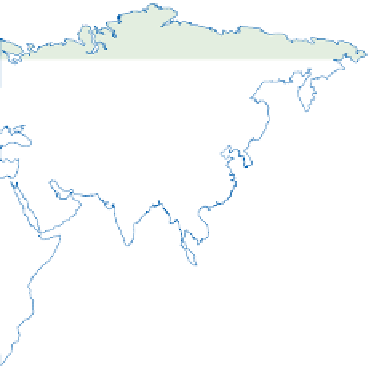
the Eurasian plate is mostly continental but includes the
north-east Atlantic and eastern Arctic Oceans, whereas the
Eurasian land mass includes continental fragments of the
African, Indo-Australian and other small plates.
Continents reflect the accretion of terranes from
more than one plate and may themselves eventually rift
apart at new plate boundaries. Continental collisions
suture
, or weld together, distinct terranes and parts of
the Alpine and Himalayan mountain systems of the
modern Eurasian plate mark such sutures formed as the
Tethys Sea closed. The closure of the long-gone Iapetus
Ocean in the Lower Palaeozoic era
c
. 430 Ma ago formed
Plates and plate motion
Cool, outer lithosphere does not form unbroken crust but
is divided into a mosaic of interlocking rigid
plates
with
active boundaries and relatively stable interiors. Each plate
consists of rigid continental and/or ocean crust and its
underlying upper mantle. The global mosaic is dominated
by seven major plates, individually 10
7-8
km
2
in area, and
a further six minor plates, each an order of magnitude
LONGITUDE
120°
180°
120°
60°
60°
0°
80°
80°
EURASIAN
PLATE
60°
60°
EURASIAN
PLATE
20-40
40°
40°
NORTH AMERICAN
PLATE
60-100
Caribbean
Plate
60-80
20°
20°
Arabian
Plate
Philippine
Plate
AFRICAN
PLATE
Cocos
Plate
PACIFIC
PLATE
0°
0°
20-40
20-40
SOUTH
AMERICAN
PLATE
Nazca
Plate
20°
20°
INDO-AUSTRALIAN
PLATE
20-100
40°
40°
20-40
60-80
Scotia
Plate
60°
60°
ANTARCTIC PLATE
60°
120°
180°
120°
60°
0°
Figure 10.6
Earth's lithospheric plates, showing constructive margins (parallel lines), destructive margins (toothed lines; teeth
point in direction of subduction) and transform margins (single or broken lines). Arrows indicate general direction and velocities
of movement in mm yr
-1
.