Geoscience Reference
In-Depth Information
wireline logs calibrated to core data. Correlations
are based on seismic, lithofacies and log responses,
allowing the evolution of the channel and adjacent
areas to be determined.
principally the result of pre-Cretaceous tectonic
extensions (Knott
et al
. 1993) followed throughout
the Late Cretaceous by post-rift subsidence
combined with local inversion probably due to
alpine compressional tectonism (Cartwright, 1989;
Vejbæk & Andersen, 2002). Locally, sedimentation
is influenced by uplift or subsidence related to
halokinetic movements of the Zechstein salt
(Ziegler, 1990; Gowers
et al
., 1993; Oakman &
Partington, 1998).
During deposition of the Chalk Group, the
Central Graben was subsiding along its major
boundary faults while the surrounding areas were
relatively stable platforms (Cartwright, 1989).
This regional post-rift thermal subsidence was
GEOLOGICAL BACKGROUND
This paper describes in detail a sector of a
large regional 3D seismic study area that cov-
ers ~ 10,000 km
2
of the Central Graben in the
southern Norwegian North Sea (Fig. 1). The
thickness of the Chalk Group (Upper Cretaceous-
Danian) in this region can be > 1000 m. The
structural configuration of the Central Graben is
2°
3°
4°
N
57° 00
57° 00
Fig. 3
Study area
2/4-A-8
&
2/4-12
2/4-A-6
56° 30
56° 30
2/7-4
2/7-14
2/8-15
20 km
Norway
Late Cretaceous active inversion faults
Main Pre-Cretaceous fault structures
Inverted highs
Halokinetic structures
Main chalk depocentres
Basin areas
Stable platform areas
Well position
North Sea
Denmark
Germany
U.K.
100km
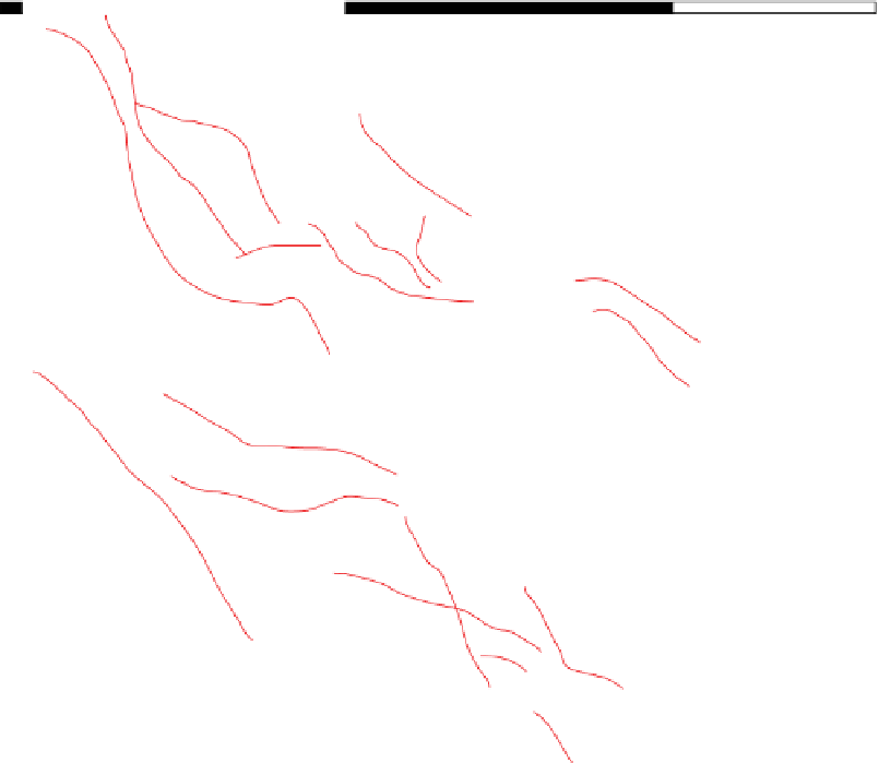
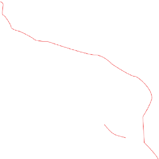
Fig. 1.
Structural map of the Norwegian Central Graben, North Sea, showing the main structural elements, inverted highs,
halokinetic structures, basin areas and location of the studied wells (modified from Bailey
et al
., 1999). The inset map in
the bottom right corner indicates the position of the study area in the North Sea.














Search WWH ::

Custom Search