Geoscience Reference
In-Depth Information
HP
?
ESP
ESP
VG
SB
?
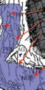
PBR
ÅG
EB
FFZ
LFB
NDB
CG
RFH
100 km
100km
4
°
10
°
4
°
6
°
1
0
°
-2
°
6
°
(C)
(D)
HP
ES
P
VG
SB
SB
PBR
ÅÅG
ÅG
PBR
ÅG
EB
EB
FFZ
FFZ
LFB
LFB
NDB
NDB
CG
CG
RFH
RFH
100km
100km
10
°
4°
6°
10°
4°
6°
Legend
Source area
Main depositional area
Chalk
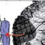
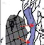
Fig. 15.
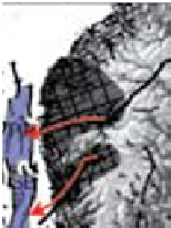
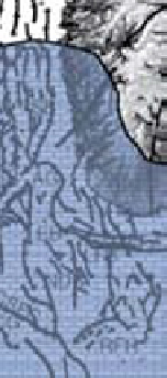
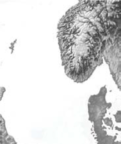
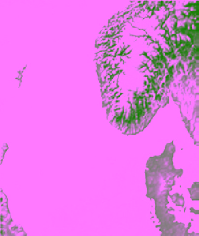
Proposed stages in basin development. (A) Stage 1. Areas in southern Norway which are suggested to have acted
as source areas during stage 1. The prograding sequences J-1, J-2 (dark blue) and K-2.1 (red) are marked with proposed
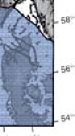
drainage patterns. (B) Stage 2. The carbonates covered most of the North Sea area, including parts of southern Norway in
Late Cretaceous time. However, the extent of the carbonates across southern Norway is uncertain. Note that base of the
Chalk Group thins towards the northern part of the northern North Sea. Southern and western limit of the Chalk Group is


Search WWH ::

Custom Search