Geoscience Reference
In-Depth Information
CHRONOSTRATIGRAPHY
GP.
FORMAT IONS
Callovian
MELKE
Bathonian
GARN
Bajocian
NOT
Aalenian
ILE
Toarcian
TOFTE
ROR
Pliensbach.
TILJE
Sinemurian
ÅRE
Hettangian
Rhaetian
Norian
“GREY BEDS”
Carnian
“RED BEDS”
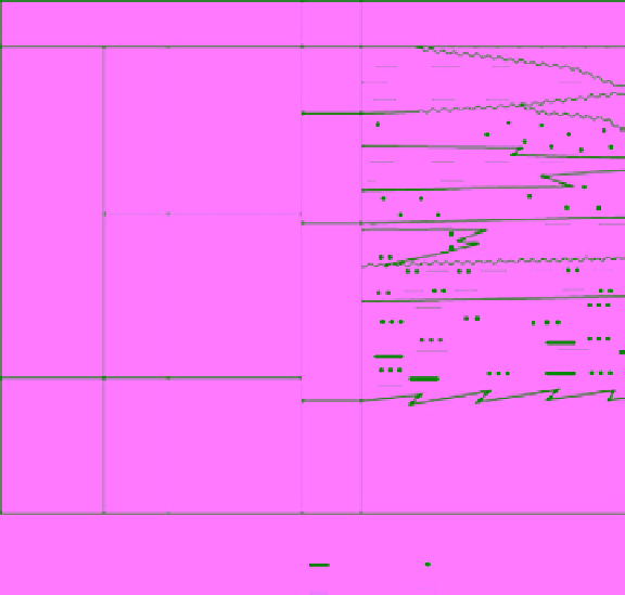
Fig. 3.
Generalised time and lithostratigraphic
sections from the Triassic-Jurassic succession on
the Halten Terrace (modified from Dalland
et al
.,
1988).
LEGEND
Coal
Shale
Sandstone
Undiff. Tr iassic rocks
In order to meet the challenges associated
with late life field production, a complete update
of the sedimentological and stratigraphic model
was required. A major multidisciplinary reservoir
characterisation study was initiated in 2003 and
completely implemented in terms of stratigraphic
models and numerical realisations of geological
models in 2007. This paper presents some of the
main results from this study.
A total of 49 lithofacies and 46 ichnofabrics
are combined to define 18 facies associations
that are indicative of deposition in non-marine,
marginal-marine and fully marine environments
(Fig. 4). This facies association scheme was
extended to the remaining uncored intervals by
geological interpretation of conventional wireline
logs. Diagnostic wireline log responses (GR/
RHOB/NPHI) defined from cored intervals ena-
bled recognition of vertical facies trends and the
identification of significant stratigraphic surfaces
(Fig. 4).
Although well-to-well correlations over short
inter-well distances (150 m to 500 m) are generally
relatively straight forward, large lateral thickness
variations and complex facies shifts in some strati-
graphic intervals add considerable correlation
uncertainty. Such complexity and uncertainty is
expected in marginal marine environments, where
a combination of tidal, wave and fluvial processes
can interact to cause significant along-strike vari-
ation in deposition.
Analysis of facies correlation and vertical
stacking patterns within a framework of key sur-
faces is used to subdivide the Åre Formation into
seven main reservoir zones, with a further 17
subzones (Fig. 4). Detailed facies correlations
based on this stratigraphic framework together
with sedimentological analysis of dip data from
DATABASE AND METHODS
Heidrun is a mature oilfield documented by a
variety of extensive geological and engineering
studies. A major challenge in reservoir characteri-
sation has been integration of the available data to
sustain consistency and coherence as new infor-
mation becomes available and geological concepts
advance.
The Heidrun Field covers an area of approxi-
mately 16 km × 8 km (Fig. 1B). Although interwell
spacing ranges from 150 m to several kilometres, it
is typically ~ 700 m. Although 77 wells penetrate
the Åre Formation, only 18 reach the lowermost
part of the stratigraphy. Fifteen wells have core
taken through the Åre Formation (totalling 1362 m).
This study is based on detailed sedimentological
and ichnological descriptions of these cores.
Search WWH ::

Custom Search