Geoscience Reference
In-Depth Information
forming the northern part of a large downfold or trough (often called the
Culm syn-
clinorium
or fold-belt in Fig. 39) that forms the central feature of the Variscan moun-
tain belt of the Southwest.
I have selected four Landscapes (
A
to
D
), loosely following the Countryside Com-
mission's character area scheme, with each Landscape being shown in Figure 81.
Landscape A: Exmoor's Devonian bedrock
Exmoor is a hilly plateau ranging in summit elevation between 250 m and about 500
m above sea level. The central parts consist of a treeless, heather- and grass-moorland
landscape, which is well seen from the highest point, Dunkery Beacon, at 519 m (
a1
;
Fig. 82). Exmoor ponies and red deer roam this landscape.
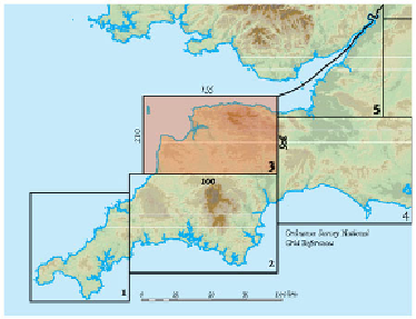
FIG
79.
Location map for Area 3.
FIG
80.
Natural and man-made features of Area 3.