Geoscience Reference
In-Depth Information
142°
140°
138°
40°
38°
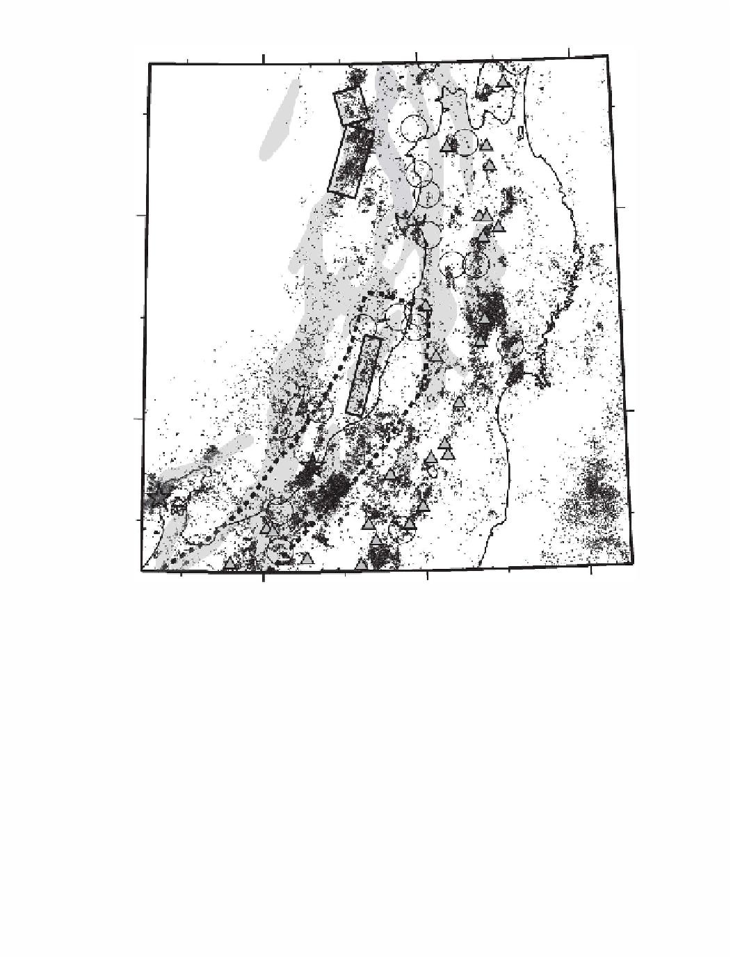
Figure
9.1
(b) Map of epicenters with magnitude greater than
1.0
reported by the JMA for the period
from
2000
to
20 I 0.
Triangles denote locations of active volcanoes. Other symbols are the same as
in (a).
source regions of inland earthquakes with magnitude less than 7 .0. In order to obtain high-
resolution three-dimensional seismic velocity tomographic images in source regions, as well
as precise hypocenters, we have deployed a series of temporary dense seismic stations inter-
polating between the existing stations of the permanent seismic network. Recent technical
advancement of portable seismometers and data acquisition systems has enabled us to carry
out quick deployment of a dense seismic network for durations longer than 3 months. We
usually deploy the temporary seismic stations with spatial intervals of several kilometers.
Each temporary seismic station continuously records three-component waveform signals