Geoscience Reference
In-Depth Information
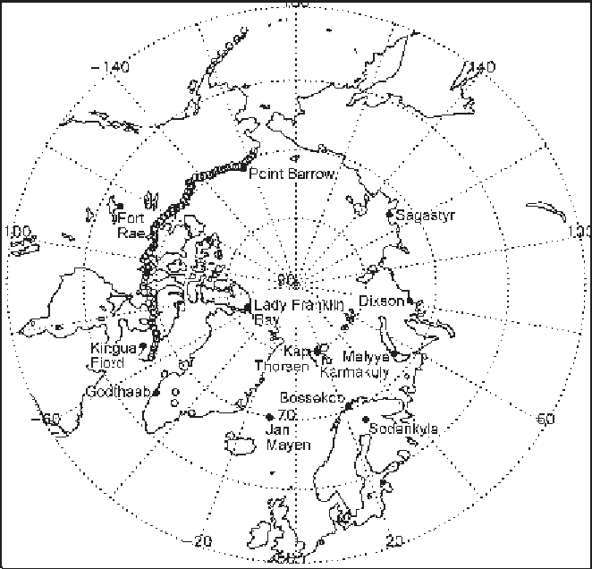
Figure 1.3.
Distribution of the 12 principal stations established during the first
International Polar Year (IPY) (solid circles) and the Defense Early Warning Line
(DEWLINE) stations (open circles). The DEWLINE network was installed during
1957-59. Weather records were collected for more than 30 years (courtesy of M.
Lavrakas, NSIDC, Boulder, CO).
before being forced to head south to Franz Josef Land. Meteorological observations
were made in Franz Josef Land by the Ziegler expedition of 1903-1905 (Fleming,
1907
).
Icebergs in the Labrador Current became a major concern for shipping after the
sinking of the Titanic in 1912. As a result, the International Ice Patrol Service was
established to document and count icebergs drifting southward. Oceanographic and
sea ice conditions in the Davis Strait and the Labrador Sea were also first studied in
detail by U.S. Coast Guard expeditions between 1928 and 1935 (Smith, Soule, and
Mosby,
1937
).
The 1910s and 1920s witnessed the advent of Arctic exploration by aircraft and
airship. Regular airborne reconnaissance of ice conditions in the Kara Sea began in
the Soviet Union in 1924. This was later extended to the entire Russian Arctic for
mapping sea ice conditions (Borodachev and Shil'nikov,
2002
). Important ocean-
ographic and meteorological observations were collected by the
Maud
Expedition