Geoscience Reference
In-Depth Information
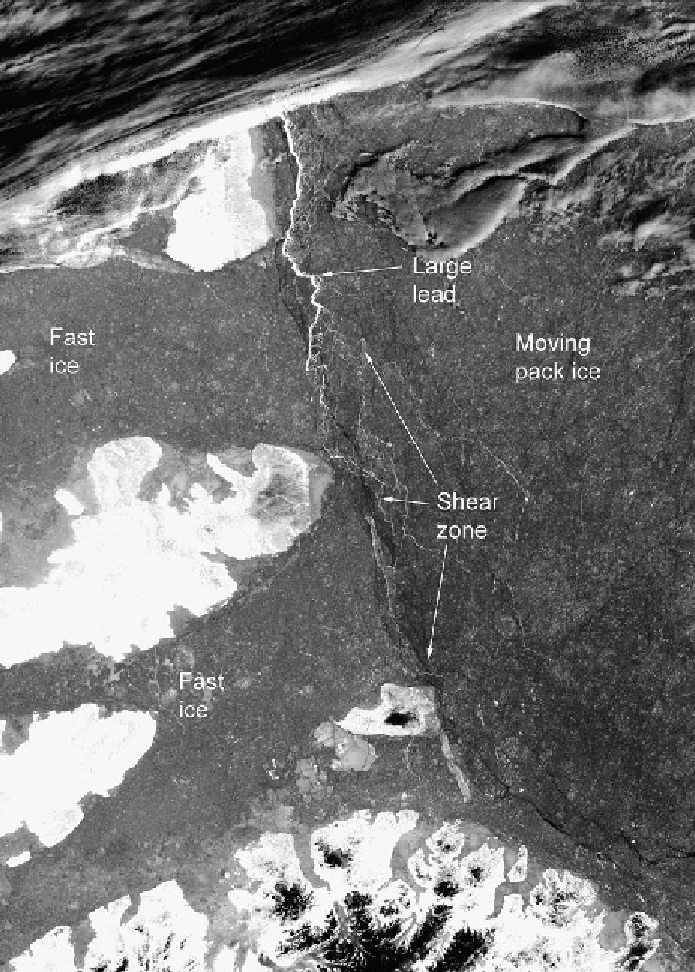
Figure 7.7.
MODIS satellite image showing the shear zone along the coast of the
Canadian Arctic Archipelago. North is roughly to the right. Axel Heiburg Island is at
the bottom. The image covers an area of approximately 526 km by 376 km, with a
resolution of 250 m (courtesy of T. Haran, NSIDC, Boulder, CO).