Geoscience Reference
In-Depth Information
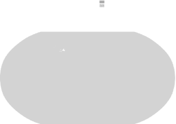
(a)
Net loss of forest
Current forest cover
Net gain of forest
(b)
Tree canopy covering
75% of the surface
Adapted from United Nations Environment Programme (UNEP), 2009. These two maps show the
relative size and location of the major remaining areas of forests across the globe, with the first
highlighting those areas where forest loss is progressively occurring.
We often think of tropical rainforests in Brazil or West Africa when we
think of tree loss; however, what are considered to be rare and special
forest ecosystems exist well beyond the equatorial zone. The province of
British Columbia (BC) in Canada provides a graphic example. BC is a large
province: the land area is nearly 1 million square kilometres, which is four
times the size of the United Kingdom. The population is just 4.5 million,
and is overwhelmingly concentrated in and around Vancouver. Approxi-
mately 60 per cent of the province is forested, and an appreciable amount
of this is either being logged or is reforested land (in various stages of