Geoscience Reference
In-Depth Information
Fig. 16.8
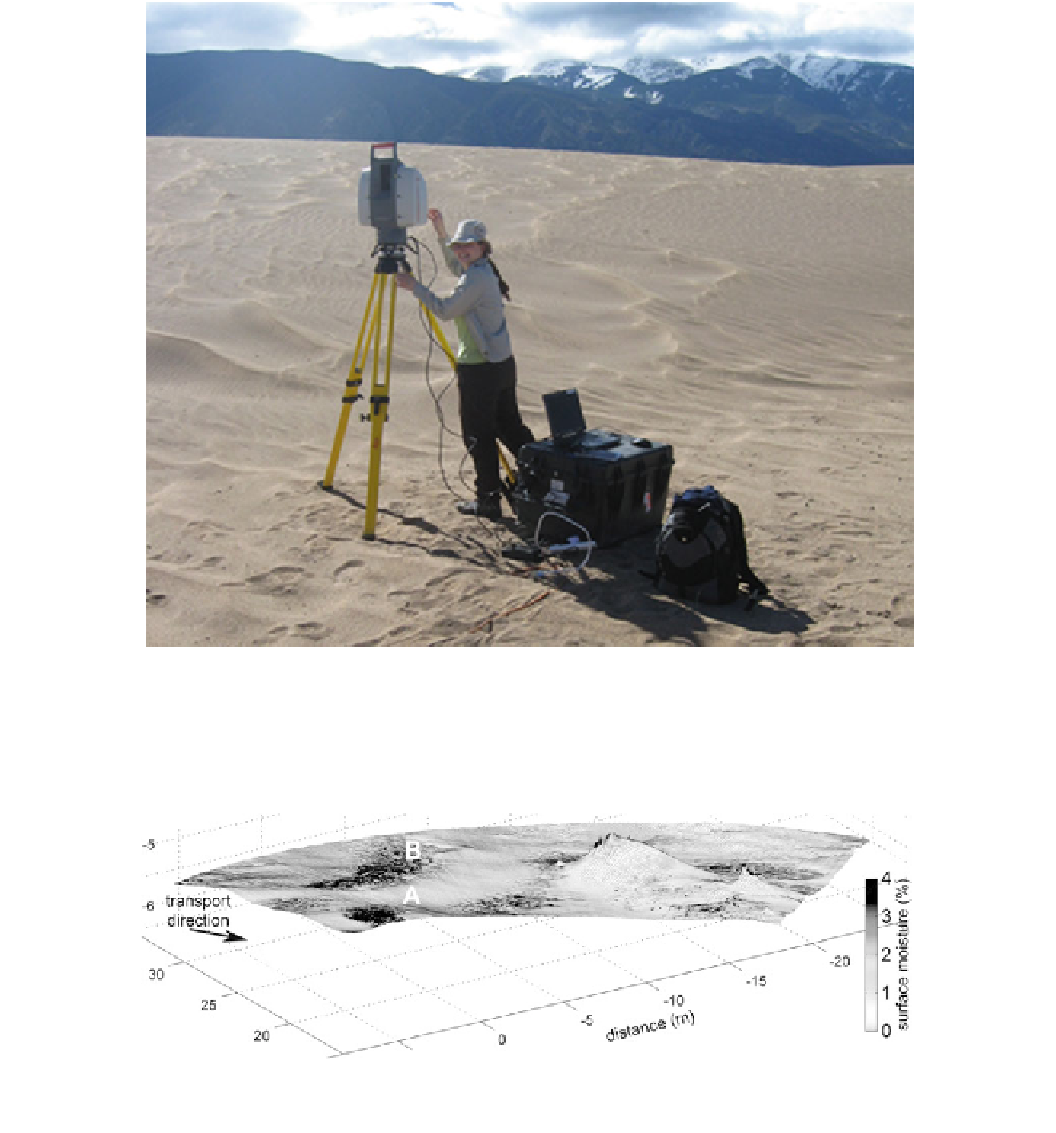
Jo Nield and a laser scanner being used at Great Sand
Dunes National Park in May 2010 to measure the microtopography of
aeolian ripples on the inside of a parabolic dune (this same ripple site
Note the laptop for data acquisition; a cable runs off the bottom of the
photograph to a generator which also had to be lugged out to the site.
Photo R. Lorenz
Fig. 16.9
Surface topography field of coastal dunes measured with a laser scanner. The amplitude of the laser reflection can be processed to
estimate the surface moisture. Image courtesy of Jo Nield
16.2.6
Gravity and Other Geophysical Methods
satellite radars of the layered ice caps on Mars. While such
methods could correspondingly measure the thickness of
regolith layers or sand sheets on the large scale, measuring
structures within an individual dune from an aircraft would
be very challenging.
Another geophysical measurement that occasionally con-
tributes to dune studies is gravity. Insofar as sand has a
lower bulk density from solid rock, the surface gravitational
Search WWH ::

Custom Search