Geoscience Reference
In-Depth Information
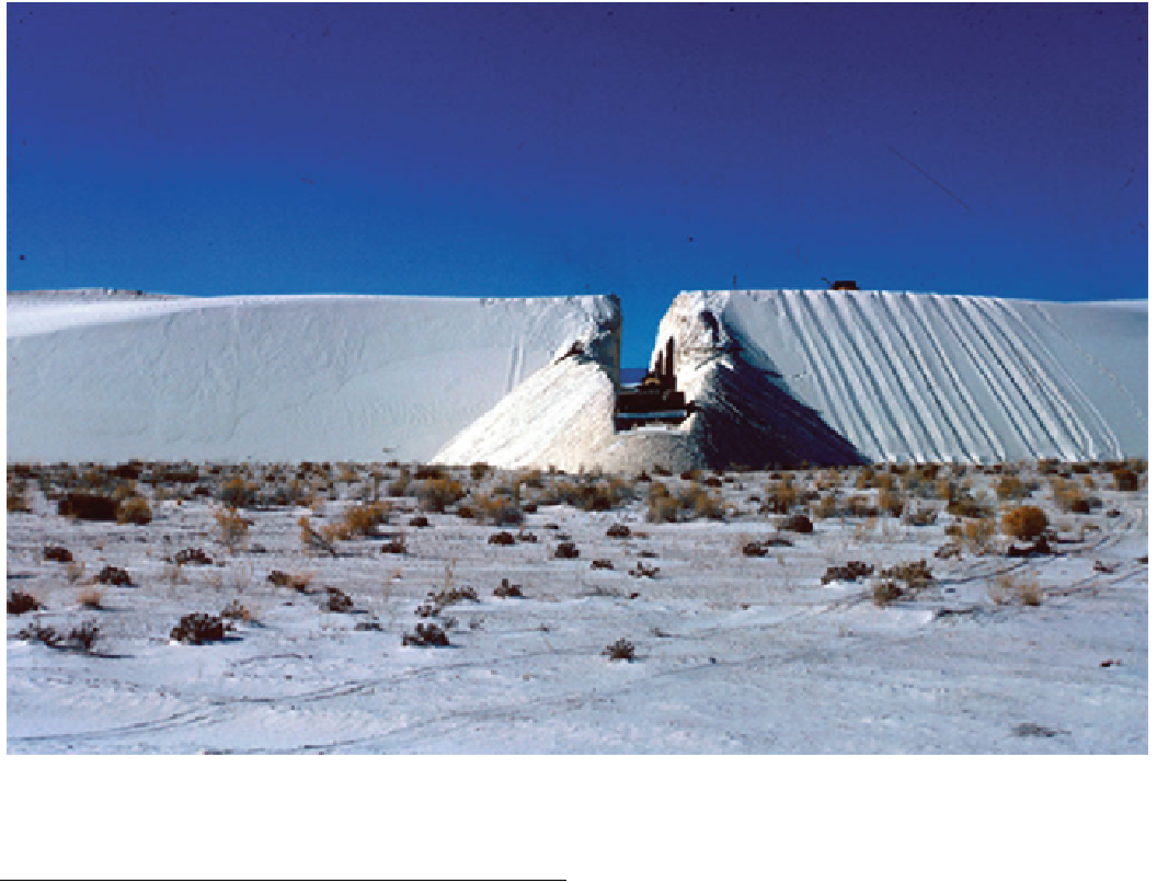
Fig. 16.1
Examining the internal structure of a dune (to expose bedding—see
Chap. 25
) the brute-force way. A bulldozer digs a trench across a
dune at White Sands National Monument. USGS photo
areas to be uniformly surveyed, shape measurements of
higher resolution and/or precision are still needed in many
cases and can be performed by GPS, field imaging and laser
methods. Additionally, in the field it is possible to probe the
internal structure of dunes, by digging (Fig.
16.1
) and by
ground penetrating radar and other geophysical methods.
16.2
Dune Shape and Structure
It is its shape that defines a sand dune, and therefore
quantitative measurement of the shape is instrumental in the
study of dunes and their evolution. In the early days,
measurement of shape was performed using the traditional
methods of surveying with a plane table or theodolite to
measure positions by triangulation, and chains to measure
length. It is sobering in this satellite age to recall that in the
1800s continental-scale areas of our planet were surveyed
by teams of determined men battling the terrain and disease:
despite their primitive equipment, their impressive precision
not only permitted the accurate mapping of, for example,
India, but also the realization that our planet is not spheri-
cal, but is bulged at the equator. At a more local scale, these
geometric methods have still been used well into the late
20th century, A slightly less accurate device for measuring
angles in the field, but widely used because of its conve-
nient portability, is the Brunton Pocket Transit (often
referred to as a Brunton compass), much beloved of geol-
ogists. New electronic sensors are beginning to surpass this
traditional sort of instrument.
16.2.1
GPS
The modern miniaturization and wide availability of GPS
equipment have made the terms GPS and 'satnav' more or
less synonymous with navigation itself. Satellite navigation
more generally was developed (notably the US Navy
Transit satellites built by the Applied Physics Laboratory,
using purely Doppler methods) soon after Sputnik, but the
particular implementation of the Global Positioning System
using satellites in high orbits with very precise clocks began
in the 1970s, becoming fully operational in 1994 (although
it had been an important facility in desert navigation in the
1991 Gulf War). The arrival time of signals received by a
Search WWH ::

Custom Search