Geoscience Reference
In-Depth Information
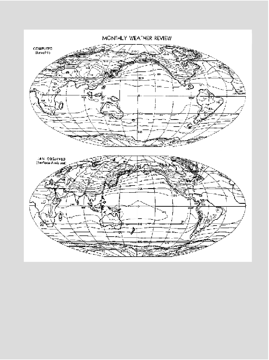
Global distribution of mean temperatures, computed (top) and observed (bot-
tom), 1971. Such world maps enable visualization of temperature data as global.
In the 1970s, studying the earth's systems at the global scale helped to reinforce
a vision of the global environment that served both scientific and political goals.
Source: J. L. Holloway Jr. and S. Manabe, “Simulation of Climate by a Global
General Circulation Model: I. Hydrologic Cycle and Heat Balance,”
Monthly
Weather Review
99:5 (1971): 344. American Meteorological Society. Used with
permission.