Geoscience Reference
In-Depth Information
(b)
38º 12'
x
ALKYONIDES GULF
38º 08'
5.0 km
-
-
-
-
+
+
+
+
+
-
x´
-
-
-
-
-
-
-
- -
+
Skinos
38º 04'
- -
-
Abandoned,
uplifting and
incising
rift basin
38º00'
Loutraki
N
(a)
Corinth
37º 56'
40º
NAF
E. Mediterranean
ANATOLIAN
SARONIC GULF
PLATE
23º 05'
22º 50'
22º 55'
23º00'
23º 10'
23º 20'
38º
B.
Major active offshore and onshore faults
+
Uplifting late-Quat.-Holocene coastline
Subsiding late-Quat.-Holocene coastline
-
(c)
36º
33 mm/yr
x
x
´
Mean sea level
0.04 ms TWT
6 mm/yr
Last (70-12 ky BP)
lowstand shoreface
deposits
Major
active
fault
34º
AFRICAN PLATE
Minor
fault
Holocene
20ºE
23ºE
26ºE
Debris lobe
Submarine
fan
Volcanic centres of Aegean volcanic arc
Progressive onlap
of hangingwall
dipslope
Basin-fill sediments
Pre-rift
basement
Prominent reflectors corresponding to sedimentation
during highstands of sealevel
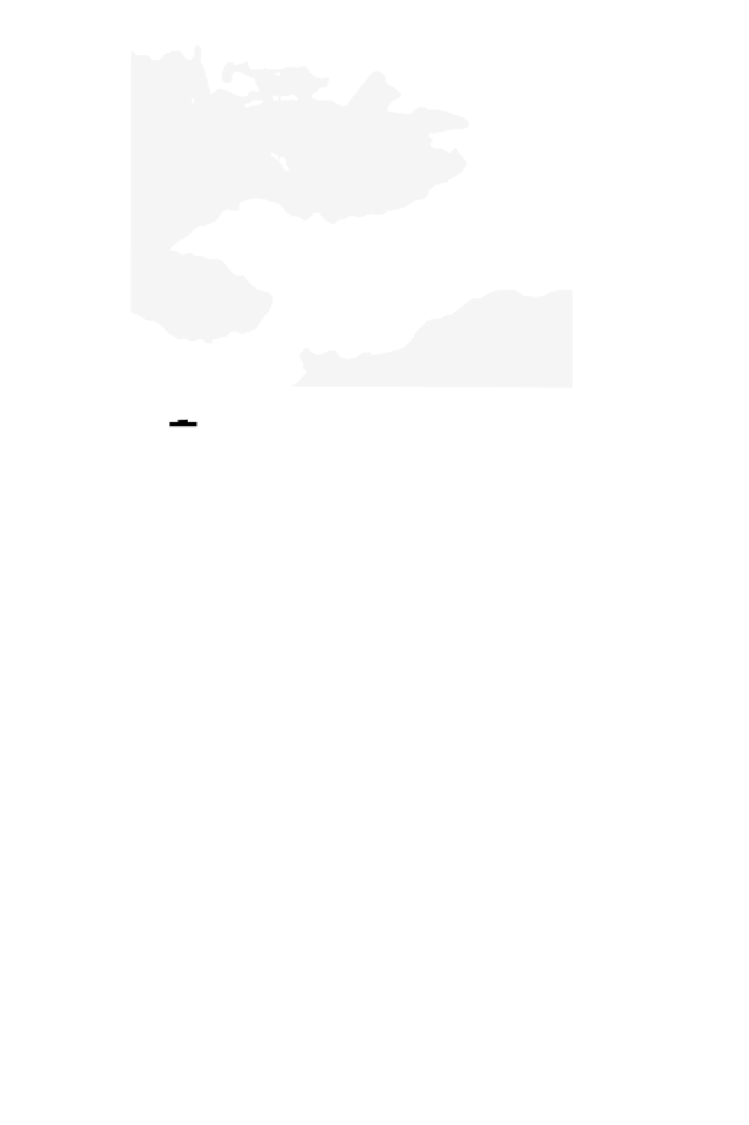
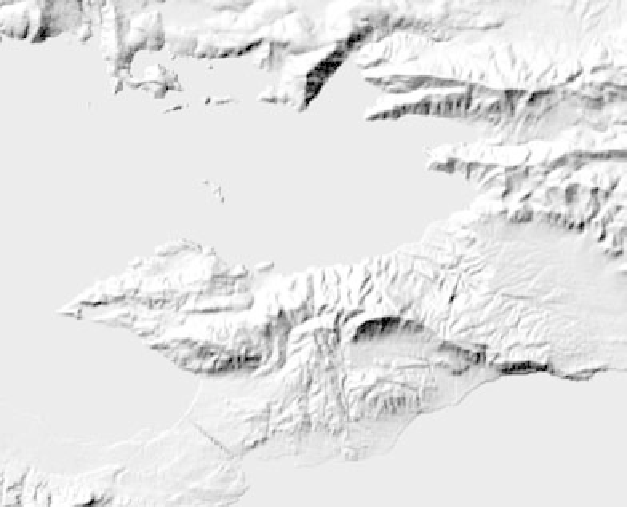
Fig. 5.43
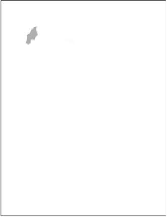
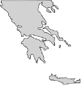
Deformation of the continental lithosphere: Extension across the Gulf of Corinth rift, SW Anatolian-Aegea plate. (a) Context of
plate, with active plate boundaries along the North Anatolian strike-slip fault (NAF) and the Hellenic subduction zone. (b) Detailed DEM to
show relief and faulting associated with the active coastal fault system in the eastern rift. In this area the fault footwalls are uplifting and the
hangingwalls subsiding. The dashed line
x
-
x
, showing the
tilted, half-graben form of the Alkyonides gulf. The Two Way Time (TWT) scale in milliseconds indicates time taken for seismic energy to pass
from sea surface source to depth and back again to a receiver. Maximum water depth here is about 300 m.
is the line of section of C. (c) An interpreted seismic reflection survey line,
x
-
x


Search WWH ::

Custom Search