Geoscience Reference
In-Depth Information
(a)
N
Township Grid
3
2
Public Land Survey System
(PLSS)
Base
1
1
Line
W
E
4
3
2
1
T2S
R3W
2
Township 2 South Range 3 West
6 5 4 3 2 1
7 8 9 10 11 12
18 17 16 15 14 13
0 21 22 23 24
9 28 27 26 25
2 33 34 35 36
3
S
Section 14
Northeast
quarter
(NE¼)
14
West
Half of
South
east
quarter
Section 14 shows both normal division of
the section into aliquot parts and the
fractional division into government lots.
N½SW½
t½SE½
Lot 1
Lot 2
Loke
(b)
(c)
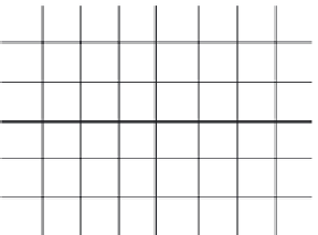
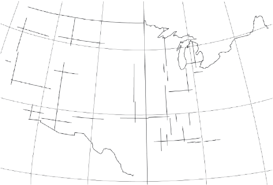
Figure 2.9 The United States Public Land Survey.
(a) Map of the contiguous 48 states showing the regions where the USPLS is the
basis for land survey. Each one of the color-coded areas has a baseline and principal meridian that is the foundation of the broader grid
network. The eastern states are based on the old metes and bounds survey system. Texas is based on a different system. (b) Subdivision
of township and range, which is based on the English system of measurement used in the United States. Townships are 36 mi
2
tracts
established on the basis of township lines and range lines surveyed every 6 mi on the principal meridian and baseline, respectively. Each
township is further subdivided into thirty-six 1 mi
2
sections, which can be, in turn, subdivided into 1/2 sections and 1/4 sections. (c) Aerial
photo of a rural landscape in the Great Plains. Each of the visible squares is a section, which contains 640 acres. The section edges are
marked by country roads. A highway crosses the center of the image.