Geoscience Reference
In-Depth Information
section 2.3. Three of these layers will be tested as factors that describe the spatial
variation of rainfall amount: altitude, slope, and topographic roughness.
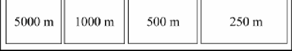
The initial DEM is reduced 2, 5, 10, 20, 50 and 100 times with the aim of
creating six other MNT that have resolutions of 100, 250, 500, 1,000, 2,500 and
5,000 m, respectively. The three data layers (altitude, slope, and roughness) are also
derived from these six new DEM. There will be, at least, three layers × seven DEMs
with a distinct resolution, i.e. there will be 21 independent variables to be tested in
future correlations (Figure 2.20).
Figure 2.19.
DEM for the urban area of Dijon and for the region of Région
Franche-Comté; location of climatological stations (rainfall
amounts for April;1971-2000 averages). Data source: the
French National Institute for Geography, Météo-France
One hundred and forty-three of the 3,165 climatological stations making up the
Météo-France network are located in the area studied (Figure 2.19). The dependent
variable, rainfall amount, is broken down into different time periods:
- the normal 1971-2000. April data was used because this month has a relatively
wide range of precipitation (the minimum rainfall amount of 51 mm was recorded
in the Saône plain, and the maximum rainfall amount of 146 mm was recorded in
the mountain chain known as the Jura). Recordings taken from other months will
also be used in order show the extent of how they differ from the April coefficients;
- the second set of data that will be used corresponds to monthly rainfall
amounts, which were accumulated during 1986;