Geoscience Reference
In-Depth Information
Once sub-grid scale information is made available (e.g. fraction of bare soil) it is
then possible to compute different energy budgets within the same grid. Different
aggregation techniques have been developed and validated [NOI 95].
Figure 4.20.
Global land cover map from University of Maryland (see color section)
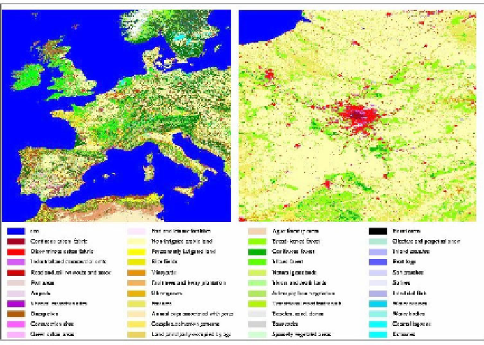
Figure 4. 21.
Land cover map from Corine Land Cover project
over Europe (see color section)