Geoscience Reference
In-Depth Information
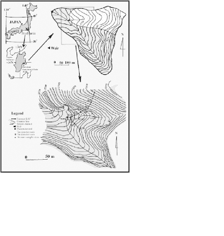
2. Site Description
The study area is Kawakami headwater catchment, 14 ha area situ-
ated at the center-west of Nagano prefecture, Central Japan (35
◦
54.9
N,
138
◦
30.2
E) (Fig. 1). About 5.2 ha from the total area were used for the
experiment. The altitude of the catchment ranges from 1,500 to 1,680 m
asl with slopes range from 20% to
>
60%. This area is underlied by Late
Neogene of the Meshimoriyama volcanic rocks.
6
The upper soil mantel pri-
marily consists of Inceptisols. The A-horizon has a rapid hydraulic conduc-
tivity (
Ks
=21
.
6
93
.
6 cm/h), while B-horizon has very slow hydraulic
conductivity (
Ks
=0
.
007-0.9 cm/h). Ca
2+
concentration in shallow ripar-
ian groundwater, deep riparian groundwater and hillslope soil water during
baseflow period was 4.81, 7.88, and 0.74 mg/l, respectively. Mean annual
precipitation is 1,500-1,600mm, producing 800-900 mm of runoff.
−
Map of Kawakami headwater catchment showing the transeet
K
-
K
.
Fig. 1.