Geoscience Reference
In-Depth Information
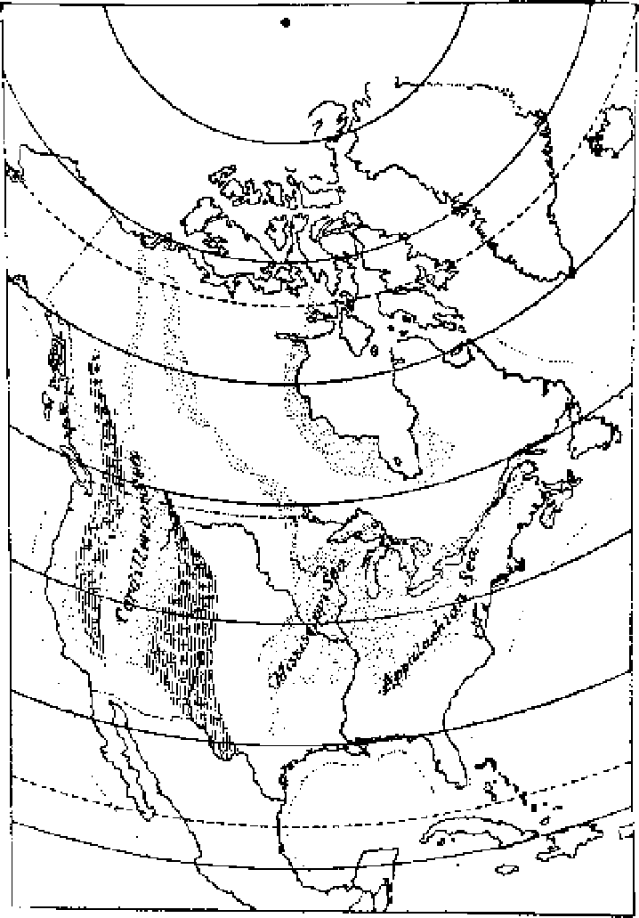
Figure 10.4 Charles Doolittle Walcott's 1893 map showing the positions
of former seas that covered the North American continent. Measuring
thicknesses of limestone found in the most western Cordilleran Sea and
determining their annual rate of deposition gave Walcott an estimate of
the age of the Earth.