Geoscience Reference
In-Depth Information
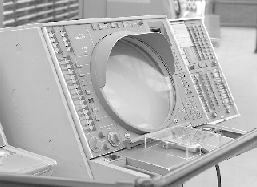
FIGURE 19.3
A SAGE early warning system radar console. (USAF/IBM SAGE Wikipedia, picture by Joi Ito.)
of tracking data onto point symbols and computed map projections. Then graduate student Waldo
Tobler, who worked on the project, initially created mylar map projection overlays to be placed on
the screens. From there to using the screen to draw the map was a logical next step (Clarke and
Cloud, 2000), and within a year, Tobler (1959) posed and answered the question 'Do possibilities for
automation exist in cartography?' Thus, SAGE is part of the creation story for GC, but then it is also
directly linked to computer graphics, computer simulation and the Internet. As regards the latter,
J.C.R. Licklider, who worked on SAGE, later became the first director of the Defense Department's
Information Processing Techniques Office and initiated the research that led to the creation of the
Advanced Research Projects Agency Network (ARPANET), precursor to the Internet. Similarly,
SAGE was codesigned by Jay Forrester, a professor at MIT's Lincoln Lab who later pioneered
dynamical systems and urban modelling.
19.3 CORONA
CORONA was the world's first spy satellite system and the project that invented the field of remote
sensing. CORONA's origins lie in another RAND project, called FEEDBACK, dating back to 1950.
FEEDBACK, later operationalised as the SAMOS program and the lunar mapping camera (Cargill
Hall, 2001), was a remote sensing system that used long focal length cameras in earth orbit, auto-
matically developed the film and then scanned it for analogue transmission back to earth. Cameras
for the project had their origin in the GENETRIX program, which during 1953-1954 released 640
weather
balloons to drift across China and the Soviet Union carrying Itek cameras. The balloons
were designed to be caught in flight by C-119 aircraft after drifting across the denied territory, and
CORONA also borrowed this technology. CORONA became critical when the U-2 spy plane was
shot down over Russia in May 1960. SAMOS's transmission system was set aside in favour of a
back-up system developed in case of failure in orbit. Fortunately, after 13 actual failures, CORONA
(under the guise of the civilian/biological Discoverer program) acquired its first imagery in August
1960. The program was to profoundly influence US geography and the role that computation was to
play in mapping and remote sensing.
CORONA was a film return system, in that exposed film was spooled into a canister that detached
from the satellite and re-entered the atmosphere. These capsules were caught in mid-air by the same
system designed for GENETRIX, later refined to use C-130 aircraft based out of Hickam Air Force
Base in Honolulu, Hawaii. Over 12 years and 103 successful missions, some lasting months in
orbit, CORONA acquired 800,000 images covering 750 million square nautical miles - 2.1 million