Geoscience Reference
In-Depth Information
(e)
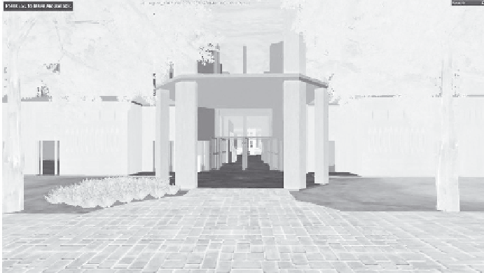
FIGURE 4.7 (continued)
Creating buildings in Google SketchUp and viewing them in OpenSim. (e) Outside
of the building within OpenSim.
incorporating the third dimension into models allows us to augment such models within the real
world. For example, Nakanishi et al. (2009) explored the use of virtual worlds as a test bed for
examining the design of urban public spaces. Specifically, the authors combine an agent-based
model with a virtual city model (in this case, a platform at the Kyoto subway station) and used AR
(which will be further discussed in Section 4.7) to allow humans to interact with the agents (as if
the agents and the humans were in the same crowd) through the use of positioning sensors around
the station and then simulated an emergency. Combining agent-based models with virtual worlds
not only allows us to carry out experiments which are not easy to do in reality, such as setting a
building on fire, it also provides us with a sense of place which people can relate to. It can therefore
potentially help communicate such models to people who are not familiar with simulation models.
However, it is not just urban systems that can benefit from moving into the third dimension but also
ecosystems such as the study of river basin management (e.g. Volk et al., 2008).
4.6 FROM GIS SOFTWARE TO GIS SERVICES
As the GeoWeb continues to develop and evolve, a new paradigm is emerging for creating tools
and functionality around geographical information. Traditionally, tools for processing geospatial
information were developed by large software vendors who embedded them in tightly integrated
software packages. Such packages provided little room for customisation and offered a very limited
ability to build upon existing functionality. GIS software was monolithic rather than flexible. The
business model built around this paradigm is what O'Reilly (2005) would call the Web 1.0 business
model, where software is packaged and sold as desktop applications according to scheduled soft-
ware releases; revenue is based on selling expensive licences to a few specialised customers (Anand
et al., 2010). This approach was not unique to GIS software, as many other software vendors across
the board adopted this approach and business model.
The development of Web 2.0 has brought a significant shift in this paradigm, which was fuelled
by a new approach to software production and delivery. As user activity has shifted from the desk-
top PC to the WWW, the Internet itself emerged as an effective way to deliver software tools by
allowing vendors to reach larger portions of their potential market while mitigating much of the
platform-specific limitations that the desktop PC environment imposed (i.e. compatibility with a