Geoscience Reference
In-Depth Information
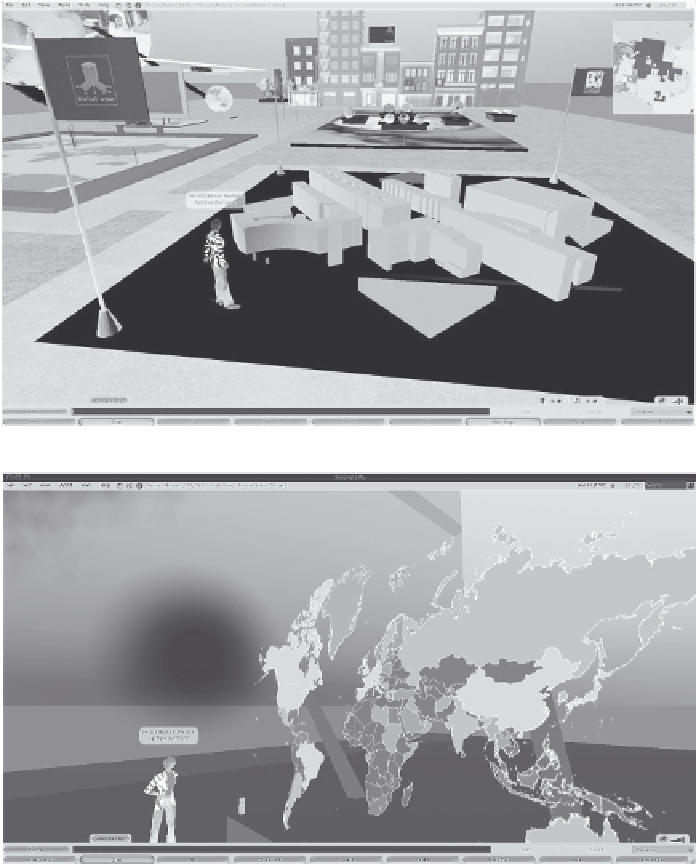
be represented within a single virtual environment, ranging from building blocks to
life-size
build-
ings. The importation of GIS data within virtual worlds has a huge potential for the display, query-
ing and discussion of data either directly from native GIS formats (e.g. shapefiles) or by creating
map boards. For example, Figure 4.6b illustrates a map display for global literacy rates. This ability
opens a range of possibilities for importing geographical data into an environment that is ripe for
public participation and collaboration-type outreach activities (Hudson-Smith, 2003).
While the visualisation and querying of geographical information is one avenue of research, the
acquisition of real-time data is also of interest. For example, Figure 4.6c depicts how one can import
RSS feeds and run them through a text board or how it is possible to link near real-time feeds to
geographic places. For example, in Figure 4.6d, we show real-world weather data in Second Life -
global maps displaying temperature, rainfall, wind speed, barometric pressure and humidity from
around the world.
(a)
(b)
FIGURE 4.6
Geovisualisation in Second Life. (a) Importing and visualising virtual cities, (b) visualising
geospatial data.