Geoscience Reference
In-Depth Information
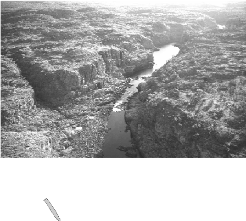
Figure 3.2.
Katherine Gorge, Northern Territory, Australia. The tributary mouth in
the left foreground is a typical location for slackwater sedimentation. Flow is from
background to foreground.
H
H
H
B
S
I
M
A
T
G
L
Slackwater sediments
Regolith
Bedrock
Gravel
Figure 3.3.
Schematic diagram of typical slackwater sediment settings and
palaeostage indicators (after Kochel and Baker,
1988
). H, scour of soil or regolith;
S, silt line; B, cave deposit; M, mounded slackwater deposit at tributary mouth;
T, slackwater terrace; I, inset slackwater deposit; A, flood damaged tree; G, gravel
bar; L, low water flow in channel.
theenergy grade line or slope of the floodwater surface. The grade line can then
be used to calculate flow velocity, discharge and stream power. The age of the
flood is usually determined by using one of several geological dating techniques
(radiocarbon or luminescence, see Appendix A)onthesediments or organic
inclusions within the sedimentary unit. Often slackwater sediments accumulate


Search WWH ::

Custom Search