Geoscience Reference
In-Depth Information
Earth's surface
Geoid
tr
Equator
C
Earth's surface
Geoid
}N
Ellipsoid
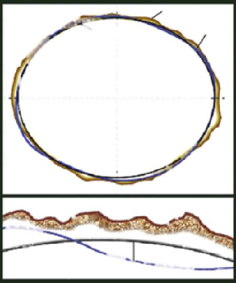
Figure 1.14 Relationship of the Earth's surface, the geoid, and a reference geocen-
tric ellipsoid. The height difference (N) between the geoid and the reference geo-
centric ellipsoid is the geoid separation. Source: Images of Kevin McMaster, URS
Corporation; published here with permission from McMaster.
areas. Horizontal datums are used to determine locations in latitude and
longitude, while vertical datums are used to determine elevations above and
depths below a reference surface.
We have discussed how the Equator and the Prime Meridian are used for
the zero coordinates for latitude and longitude. However, for vertical mea-
surements, three fundamentally different approaches exist. The choice of
an appropriate datum depends on such factors as whether one is interested
primarily in the height of land (topography) or the depth of water (bathym-
etry). Datums are updated as the surface of the Earth changes. They are also
updated as measurement becomes increasingly accurate. For example, the
North American Datum of 1927 was used for decades, such as on USGS topo-
graphic maps, and the digital maps that were derived from those paper maps,
until it was revised in 1983. Similarly, the North America Vertical Datum of
1929 was in wide use until it too was revised in 1988. Most GPS receivers
use, as their default, the World Geodetic System of 1984 as their datum. It
is important to know what datum the map you are using was derived from,
because every single
x
,
y
, and
z
coordinate on those maps is only valid for
its specific datum. Converting from one datum to another across map edges
or across time is necessary when working with maps at multiple scales and

Search WWH ::

Custom Search