Geoscience Reference
In-Depth Information
you about changes in Oklahoma's population over the years? This indicates
that sparsely populated rural counties, with agricultural mechanization and
the loss of small farms, will continue to lose people. One county in the
Oklahoma panhandle did post recent increases, but it is due to large feed-
lots, a facet of agribusiness.
6.6.2 Digging deeper into classification using ArcGIS for desktop
In this activity, you will again use GIS to investigate classification, but this
time, dig deeper than you could with the online tools, this time with ArcGIS
for Desktop. The software employed will be ArcGIS for Desktop, from Esri.
Start ArcGIS for Desktop and access the ArcMap application. Use File
→
Open
to open the lesson_high4_classification .mxd file which may be obtained
cfm?id
=
523
Remember that each method of classification changes the meaning conveyed
by your map to the map reader, so you need to choose the classification with
care. The steps in this activity will lead to the appearance of a map similar to
that shown in
Figure 6.16.
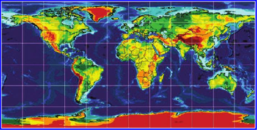
Which map layer is already classified? The elevation layer is already classified.
How many classes of elevation are there and what is the range of the elevation
data? What are the units of elevation data? The elevations are in meters. Label
countries based on CNTRY_NAME. Use Identify on the elevation layer to
answer the following: What is the Elevation code for the class corresponding
to the highest elevation? The code is 16, grouped in the category 13 through
16. As shown in
Figure 6.17
,
right or double click on the Elevation map
Figure 6.16 Classifying data on maps using Esri software. Source of base map: Esri
software.
Search WWH ::

Custom Search