Geoscience Reference
In-Depth Information
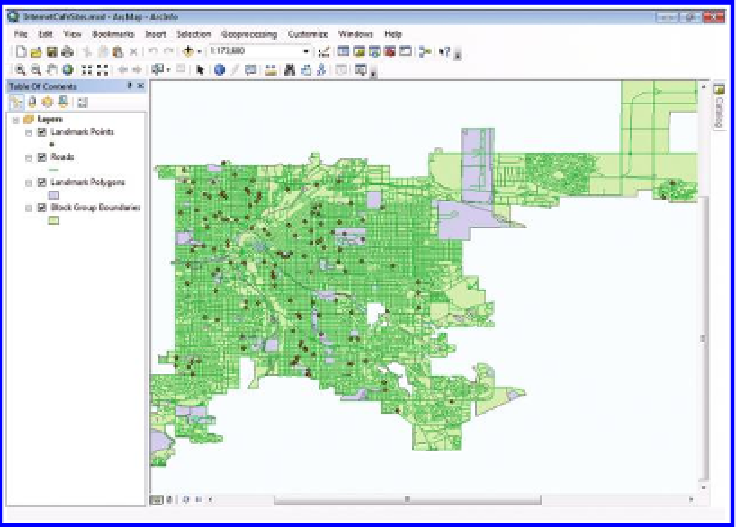
Figure 3.10 Denver Internet café base map. Source of base map: Esri software.
Select the schools in the point landmark feature layer. Recall that the Internet
cafés do best within one kilometer of educational institutions. In ArcToolbox,
use Analysis Tools
→
Proximity
→
Buffer to create one kilometer buffers
around the selected features (schools). Because this layer is projected in WGS
84, the buffers will appear to be elliptical (with unequal major and minor
axes). If they appear as circles (ellipses with equal major and minor axes) go
back and check to make sure that the layer is properly projected (probably it
is not).
Next, you need to find out where the colleges and universities are located.
Examine the table for your polygon landmark feature. What CFCC indicates if
a polygon landmark feature is a college or university? This is code “D43.” As
you did for the high schools, create one kilometer buffers for the colleges and
universities. These buffers have an irregular shape because they are buffering
irregularly-shaped areas.
Now you have created educational proximity zones.
Figure 3.11
shows the
results of this analysis placed on the base map of Figure 3.10. Intersecting
these buffers, later, with block groups containing at least 10% 18 to 21 year-
olds will lead to a solution to the problem when coupled with nearness-to-
busy-street variable and other elements of analysis. Multiple skill sets, and
multiple layers of analysis, are often involved in analysis involving spatial
mathematics!
Search WWH ::

Custom Search