Geoscience Reference
In-Depth Information
0
°
50
′
0
°
45
′
N
Lo Pagán
La Ribera
W
E
S
La Torre
El Ventorrillo
Mediterranean
Sea
Los
Alcázares
37
°
45
′
El Estacio
Mar
Menor
Grosa Island
5 m
4 m
6 m
Perdiguera
Island
La Manga
Los
Urrutias
Baron's
Island
Ciervo's
Island
Marchamalo
37
°
40
′
Los Nietos
Cape of
Palos
0123km
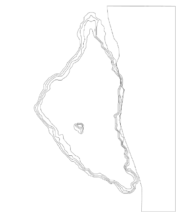
FIGURE 9.3.2
Bathymetry of the Mar Menor.
(northeast, east-northeast, south-southwest, and southwest) from 18 to 26 km/h. The
highest monthly mean velocities are usually in the range of 30 to 40 km/h.
Climatic and hydrologic features in this area of the Iberian southeast littoral
(Table 9.3.1)
combined with the lagoon's geomorphology cause it to behave like a
concentration basin. Evaporation exceeds rainfall and run-off, and, until recent years,
there was no permanent watercourse flowing into the lagoon. There are, however,
more than 20 cataclinal watercourses on the watershed that collect rainfall water from
the surrounding mountains. They get into the plains as real
wadis
but the waters


Search WWH ::

Custom Search