Geoscience Reference
In-Depth Information
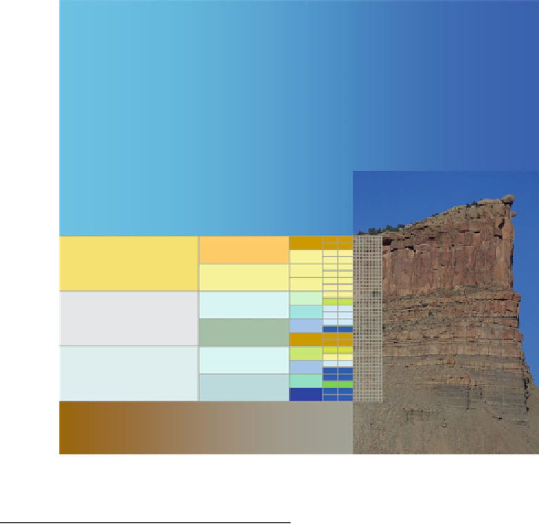
Pixelated rocks
3.1
Which Properties?
A geological model of a petroleum reservoir
is the basis for most reservoir evaluation and
engineering decisions. These include (roughly
in order of complexity and detail):
Making estimates of fluid volumes in place,
Scoping reservoir development plans,
Defining well targets,
Designing detailed well plans,
Optimising fluid recovery (usually for IOR/
EOR schemes).
The type of decision involved affects the
property modelling approach used. Simple aver-
aging or mapping of properties is more likely to
be appropriate for initial volume estimates while
advanced modelling with explicit upscaling is
mostly employed when designing well plans
(Fig.
3.3
) or as part of improved reservoir dis-
placement plans or enhanced oil recovery (EOR)
strategies.
First let us recall the purpose of building a reser-
voir model in the first place. We propose that
the overall aim in reservoir model design is:
To capture knowledge of the subsurface in a quan-
titative form in order to evaluate and engineer the
reservoir.
This definition combines knowledge capture,
the process of collecting all relevant information,
with the engineering objective - the practical
outcome of the model (Fig.
3.1
). Deciding how
to do this is the job of the geo-engineer - a
geoscientist with sufficient knowledge of the
Earth and the ability to quantify that knowledge
in a way that is useful for the engineering deci-
sion at hand. A mathematician, physicist or engi-
neer with sufficient knowledge Earth science can
make an equally good geo-engineer (Fig.
3.2
).