Geoscience Reference
In-Depth Information
176
°
50'E
178
°
E
Landslide-prone
Steepland
Landslide-prone
Steepland
36
°
10'S
36
°
30'S
Poverty Bay
Lake
Tutira
Lake
Tutira
0 kilometres 20
0 km 2
(a)
(b)
0 km 200
N
Pacific Ocean
Tasman Sea
W
T
Hawkes Bay
(d)
(c)
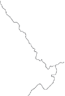
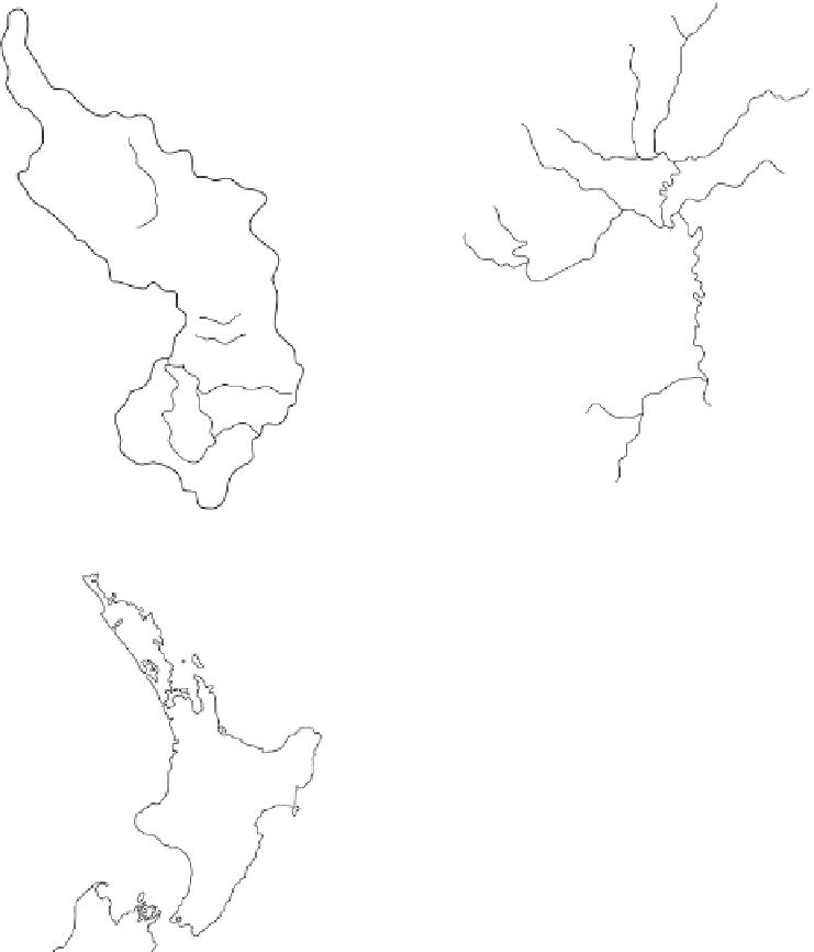
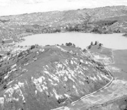
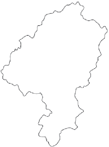
Case Fig. 2.3
(a) Tutira catchment; (b) Waipaoa River basin; (c) location of the two study areas (T, Tutira; W, Waipaoa)
in North Island, New Zealand; and (d) Lake Tutira and the adjacent landslide-prone slopes, showing the 1988 Cyclone
Bola storm-triggered landslides and floodplain sedimentation (photograph courtesy of N. Trustrum). (Source: Trustrum et al.
1999; reproduced with permission
Gebr. Borntraeger Verlagsbuchh
.)
landslide terrain units, vegetation and storm characteristics, relationships established between
storm rainfall and landslide frequency were used to estimate landslide density across the entire
2205 km
2
catchment (Case Table 2.3). Each land system group has a characteristic rock type,
suite of landforms and erosion processes, drainage density and channel morphology. Sixteen
have been identified but only the six listed in Case Table 2.3 are prone to landslides. The Te
Arai land system is most prone to landsliding, being made up of very weak bedrock, steep
slopes with broken surface soil structure and steeply incising channels.