Geoscience Reference
In-Depth Information
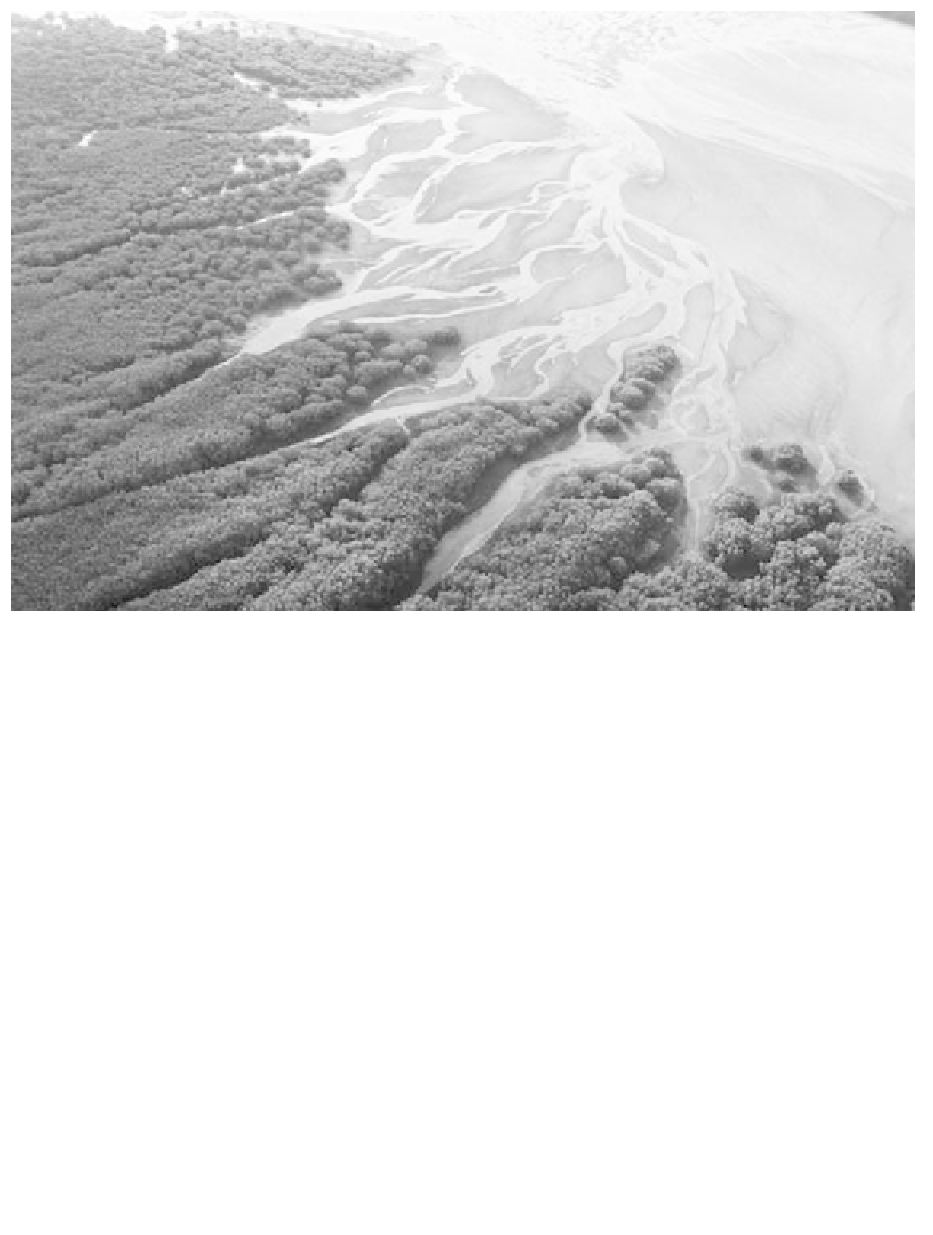
Fig. 9.4
Fringing mangrove developed along the shoreline of Inhaca Island, Mozambique. Note the well-developed creek systems that
dissect the mangrove. Field of view approximately 0.5 km. (Photograph courtesy of Simon Beavington-Penney.)
Seaward
zone
Landward
zone
Terrestrial
zone
Mesozone
Mean air temperature
>10-19
o
C (or absence
of frosts)
Fluvial and/or
groundwater
influence
Rainfall/aridity/
seasonality
HWS
Salinity gradie
n
t
Tidal
range
HWN
Shoreline
geomorphology
Mean sea surface
temperature >15
o
C
Sedimentation rate
Substrate composition, e.g. ratio of sand/
mud/clay; carbonate vs clastic content
Avicennia Rhizophora Bruguiera Ceriops Xylocarpus
Fig. 9.5
Environmental controls on the development and zonation of mangroves: HWS, high water, spring tides; HWN, high water,
neap tides. Temperature ranges are based on data in Woodroffe & Grindrod (1991).