Geoscience Reference
In-Depth Information
0
400 km
ZIMBABWE
MOZAMBIQUE
BOTSWANA
o
Chókwé
Chókwé
Chibuto
Xai-Xai
SOUTH AFRICA
Maputo
SWAZILAND
Indian
Ocean
Maputo
LESOTHO
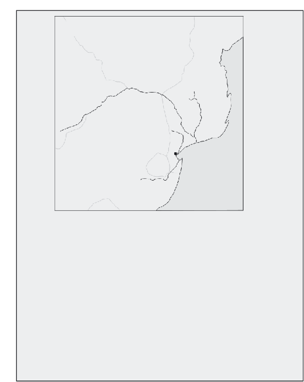
Figure 5.14
Location of the Incomáti, Limpopo and Maputo rivers in southern Africa.
stormflow. The river catchments were extremely
wet (i.e. high antecedent soil moisture values)
prior to the extreme rainfall, due to a prolonged
and wet monsoon. One possible explanation for
the severity of the rainfall is linked in with the
ENSO (El Niño: Southern Oscillation) ocean-
weather patterns in the Pacific. Christie and
Hanlon (2001) present evidence that during a La
Niña event (extreme cold temperatures in the
western Pacific Ocean) it is common to see higher
rainfall totals in Mozambique. However, this is
not a strong relationship and certainly could not
be used to make predictions. Figure 5.15 shows
the monsoon rainfall at Maputo (averaged over
two rainy seasons) and associated La Niña events.
There may be some link here but it is not imme-
diately obvious, particularly when you consider
1965-66 which had high rainfall despite it being
an El Niño event (often associated with drought
in southern Africa).
What was unusual about the 2000 floods was
that the tropical Eline cyclone (called typhoons or
hurricanes elsewhere) moved inland, taking
extremely high rainfall to Zimbabwe and northern