Geoscience Reference
In-Depth Information
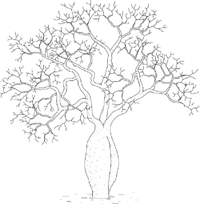
Figure 5.5 Palo borracho tree of the Chaco are also called drunken trees for their abil-
ity to hold large amounts of water within their trunk.
(Illustration by Jeff Dixon.)
The Chaco lies upon the margin of the Brazilian Shield that subsided during
the Mesozoic and early Cenozoic eras (248-50 mya). During that time, the area
accumulated thousands of feet of marine and terrestrial sediments that have cre-
ated soils dominated by sands, silts, and loess (wind-deposited silt and sand). Sedi-
ments from the Bermeyo and Pilcomayo River continue to enrich the area.
Average temperatures range from 66
-75
F (19
-24
C) but can goes as high as
82
C) in the colder
months. Mean annual rainfall varies from 10-47 in (250-1,200 mm) with a dry sea-
son that can last two to seven months.
Composition and forest structure vary with the amount of annual precipitation
and soil type. The dominant vegetation is open dry forest woodlands with caha,
palo borracho, acacia, candelabra cactus, and endemic trees in the Anacardiaeceae
family (
Schinopsis
spp.) dominant. Cacti and bromeliads are found in the
understory.
F (28
C) in the warmer months and as low as 54
F (12