Geoscience Reference
In-Depth Information
Direct control over local continuity directions is controlled using a predefined azimuth
map and the local dip (an angle from the horizontal/azimuth plane) of the horizons.
The Fault Displacement Field (FDF), annotated in Fig. 8 with symbol FT (fault throw)
can be, for example, calculated from the underlying seismic amplitude data (Liang
et al.
,
2010).
Interactive operation with “geologically intuitive” datasets, such as layering intervals,
projection maps and hand drawings via the notion of MCF and the
Retention of the maximum fidelity of geological model by postponing the creation of
grid/mesh until the final stage of (static) model building, immediately before
integrating into dynamic model. The reservoir property modeling does not need a
standard grid but only the “correct” distance between the points to estimate/simulate
the property and data around it.
The key to implementation of these ideas emerges from interpretation of concepts of MCF
and their implementation into kriging equations (Eq. 2) for geostatistical estimation. Almost
all available geostatistical software restricts the user to certain types of variogram model
functions (
e.g.
spherical, exponential, Gaussian etc.) to ensure that a unique set of kriging
weights can always be found and to ”force” a
single
direction of maximum continuity.
However, it is very rare in geology to have a single direction of maximum continuity
representative everywhere. Instead, the PV method defines the attributes of Maximum
Continuity Vector (MCV) as location, magnitude, direction and length, representing the
correlation length (see insert of Fig. 8), along which the magnitude of the geological
Magnitude and
direction
Magnitude and
direction
Magnitude and
direction
Location
Location
Location
Length
Length
Length
FT
FT
V1
V1
V2
V2
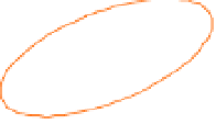
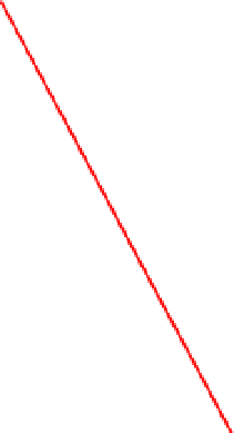
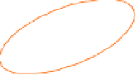
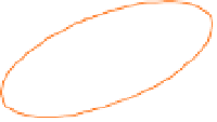
Fig. 8. Interpolation of properties in PV method (2D visualization): the structural framework
is represented by top and bottom horizons (in blue) and fault line (in red). The maximum
continuity vectors and fault throws are depicted with V and FT, respectively. The data
points included in the search neighborhood (ellipse depicted in orange) are represented
with triangles in blue, while red squares represent data points excluded from the search.


Search WWH ::

Custom Search