Geoscience Reference
In-Depth Information
26°
23°
20°
5°
7°
3°
a)
4°50' Fault
b)
1
- Archaean granulites;
2
- Gneiss and metasediments, series of Arechchoum (Pr1);
3
- Gneiss with
facies amphibole, series of Aleskod (Pr2);
4
- Indif. gneiss (Pr3);
5
- Pharusian Greywackes;
6
- Arkoses
and conglomerates, series of Tiririne (Pr4);
7
- Volcano-sediments of Tafassasset (Pr4);
8
- Molasses
(purple series) of Cambrian;
9
- Pan-African syn-orogenic granites;
10
- Pan-African Granites;
11
- Pan-
African post-orogenic granites;
12
- Granites of Eastern Hoggar;
13
- Late pan-African Granites;
14
- Basalts and recent volcanism;
15
- Paleozoic cover;
16
- Fault.
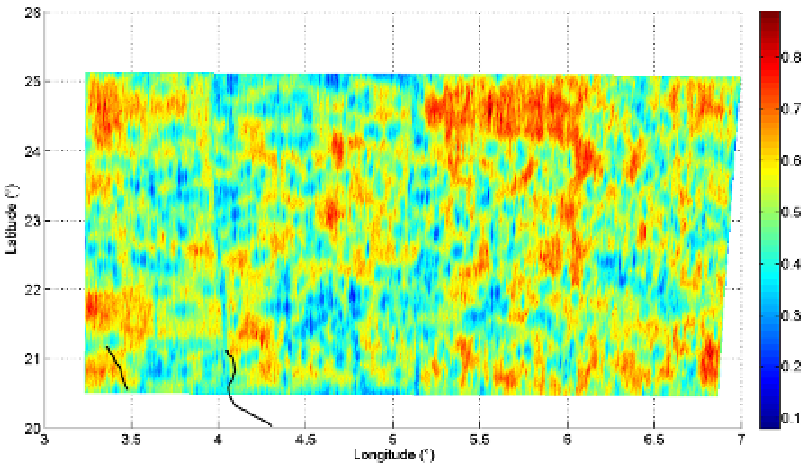
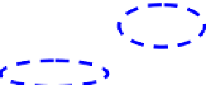
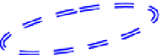
Fig. 8. Correlation of the regularity map (b) obtained from the GR measurements recorded
in the Th channel with the geological map of the studied zone (a). The ellipses in dotted
lines delimit the geological formations: black (pan-African syn-orogenic granites), white
(pan-African granites), simple blue line (basalts and recent volcanism), doubled blue line
(gneiss with amphibole facies), brown (gneiss and metasediments).


Search WWH ::

Custom Search