Geoscience Reference
In-Depth Information
65°
70°
75°
80°
85°
90°
95°
100°
105°
110°
115°
120°
125°
130°
135°
140°
145°
45°
45°
40°
40°
35°
35°
30°
30°
25°
110°
115°
120°
20°
20°
20°
15°
15°
10°
10°
5°
5°
15°
90°
95°
100°
105°
110°
115°
120°
125°
110°
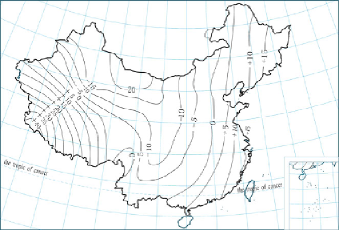
Fig. 7.9 China's mainland geoid, National Geodetic Coordinate System 1980
will be seams on the newly drawn topographic maps due to imperfect splicing. For
instance, a change of 80 m will be 1.6 mm on a topographic map at the scale of
1:50,000. The changes in the positions of grid lines are dependent on the changes in
geodetic coordinates. The additional effects of the variations in the projected plane
coordinates caused by changes in the ellipsoidal parameters are also included. For
example, when the geodetic longitude is 116
and geodetic latitude is 46
, the
changing values of the grid lines in the x- and y-directions are 46 m and 55 m,
respectively. The changes on the 1:50,000 scale topographic maps are 0.9 mm and
1.1 mm, respectively. The biggest problems generated by implementation of the
XAS80 are the changes in positions of the map sheet lines and the grid lines, which
have made it troublesome while splicing together the topographic maps based on
the old and new geodetic coordinate systems.
7.5.3 Beijing Coordinate System 1954 (New)
The scientific nature, rigor, and advancement of the XAS80 at that time were
acknowledged unanimously by everyone, while the results provided by BJS54
were based on local adjustments, manifesting many drawbacks that made it inap-
propriate for further use. If BJS54 were replaced by XAS80 as the plotting
coordinate system (particularly topographic maps at scales larger than 1:50,000),
Search WWH ::

Custom Search