Geoscience Reference
In-Depth Information
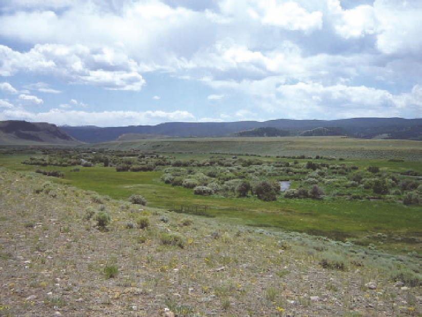
Fig. 17.13. (above) Riparian meadows and willow-dominated
shrublands along the Big Laramie River south of Woods Land-
ing in colorado. note the lack of cottonwood in this area.
Also note the terraces and benches through which the river
flows. this topography was formed in the same way as along
the Snake River in Jackson Hole (see chapter 2).
Fig. 17.14. (left) Shrublands dominated by greasewood are
common in the Laramie Basin, occurring in low areas and
on the upland where the soils are saline and relatively moist.
Associated species include Gardner's saltbush, pricklypear cac-
tus, alkali sacaton, western wheatgrass, and nuttall's alkali-
grass. Greasewood often is found adjacent to playa wetlands,
as illustrated in fig. 5.6.
Geobotanical Relationships
Geobotany is the study of the relationships between
native plants and the underlying rocks on which they
grow. Such relationships have been considered in pre-
vious chapters, but several interesting patterns in the
Laramie Basin are noteworthy. one example is the
association of selenium-rich shales of the niobrara For-
mation and a group of plants that only grow on soils
developed from this formation. Known as selenium
indicators, the group includes two-grooved milkvetch,

Search WWH ::

Custom Search